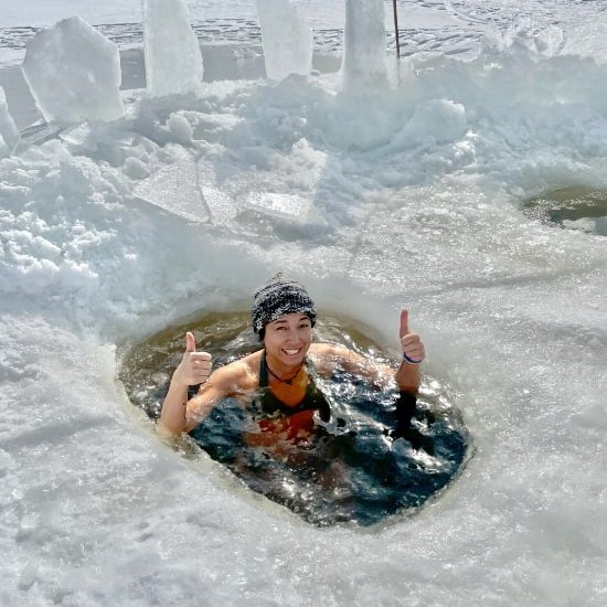
In my last trail report, I shared my thoughts on the famous Sea-to-Summit trail in Squamish. For my final hike in BC before moving away to Ontario, Chris and I went to the the Tikwalus Heritage trail for a one-night backpacking trip on the other side of the lower mainland, north of Hope. And we were so glad that was the one we chose to make as our final one together.
Tikwalus Heritage Trail Stats
Difficulty: Hard
Type: Loop
Time: 5-6 hours
Distance: 11.7km
Net Elevation Gain: 968 metres
Season: April - October
A Quiet Refuge for Serious Hikers
As mentioned at the start of my last trip report, the Tikwalus Heritage Trail is not a widely known trail, primarily frequented by locals. I read one of the info signs that one of the local high schools does an annual overnight trip on this trail. With the trail getting mostly local love, it doesn't have as many hikers as the widely-advertised trails like the Sea-to-Summit Trail. In fact, we didn't see a single other person on the trail the whole time we were on it. To be fair, we went on a Tuesday, and there was rain in the forecast for Wednesday, but from what I know about the trail, it's still nowhere near as busy as more popular trails on weekends.
Perhaps one of the reasons is the difficulty of the trail itself, and the lack of an easy way down like a gondola. With more elevation gain than the Sea-to-Summit trail, covered over less distance, it is a physically demanding hike, even for experienced hikers.
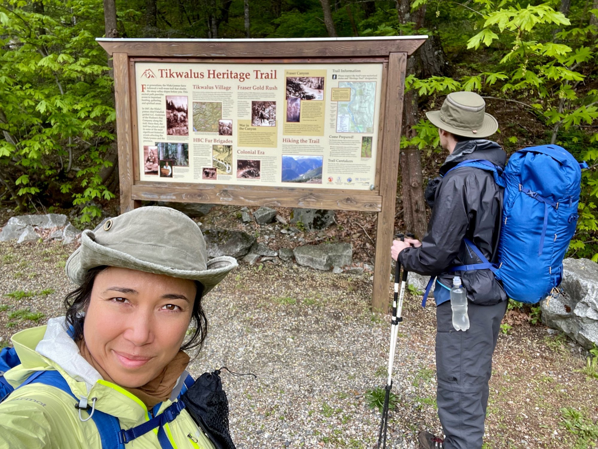
Up, Up and Up
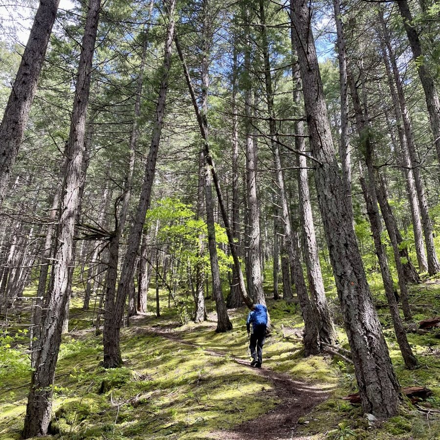
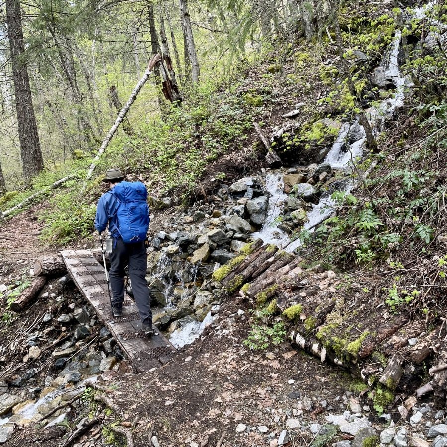
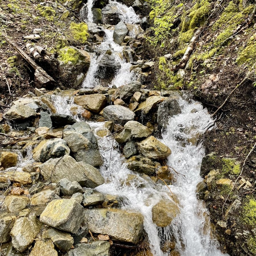
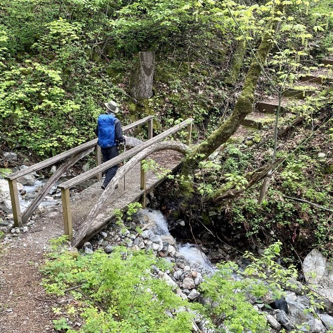
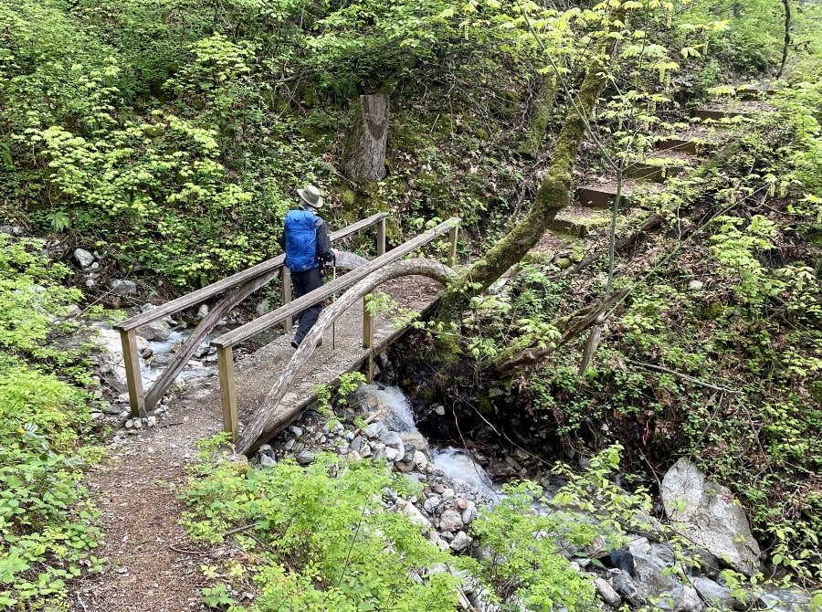
Similar to the Sea-to-Summit trail, the first part of the trail is, in my opinion, the hardest part. The difference is that there are no stairs, just natural terrain that has been carved out over several decades of use. I prefer this to a trail that has been curated, manicured and quickly constructed through human intervention. There are a few bridges for small creek crossings that were purposefully built, but they are the kind that blend more seamlessly into the natural surroundings like the ones you see below, ones that help highlight the small waterfalls that they cross in front of.
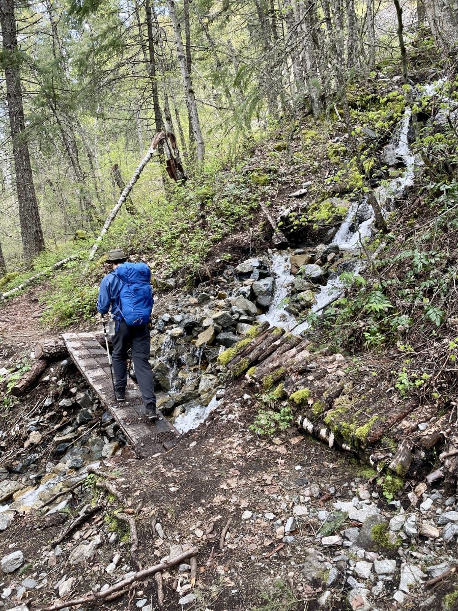
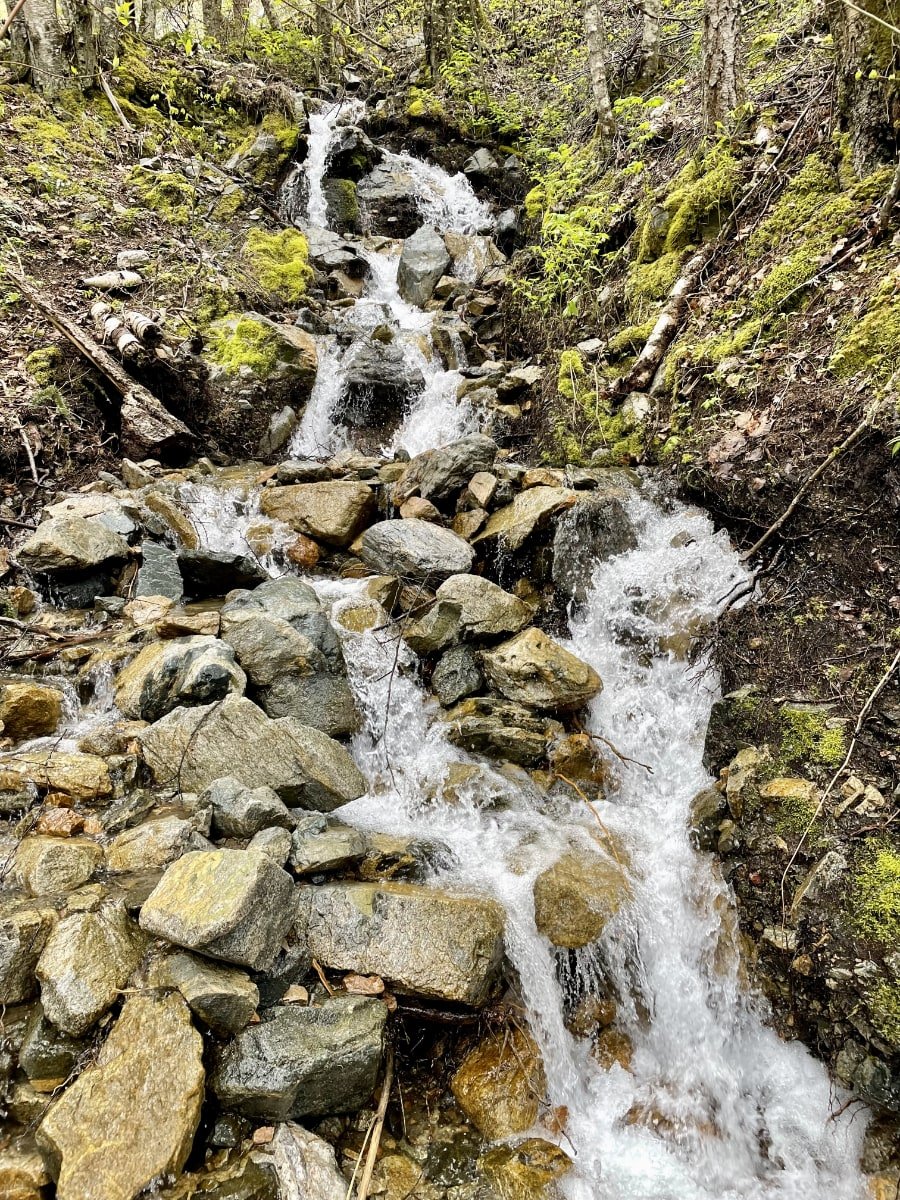
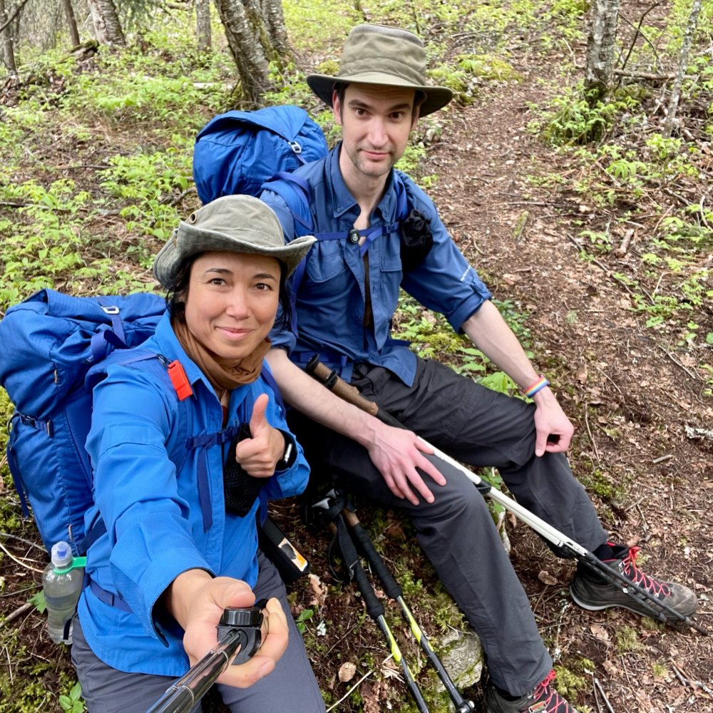
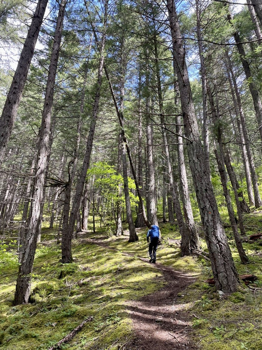
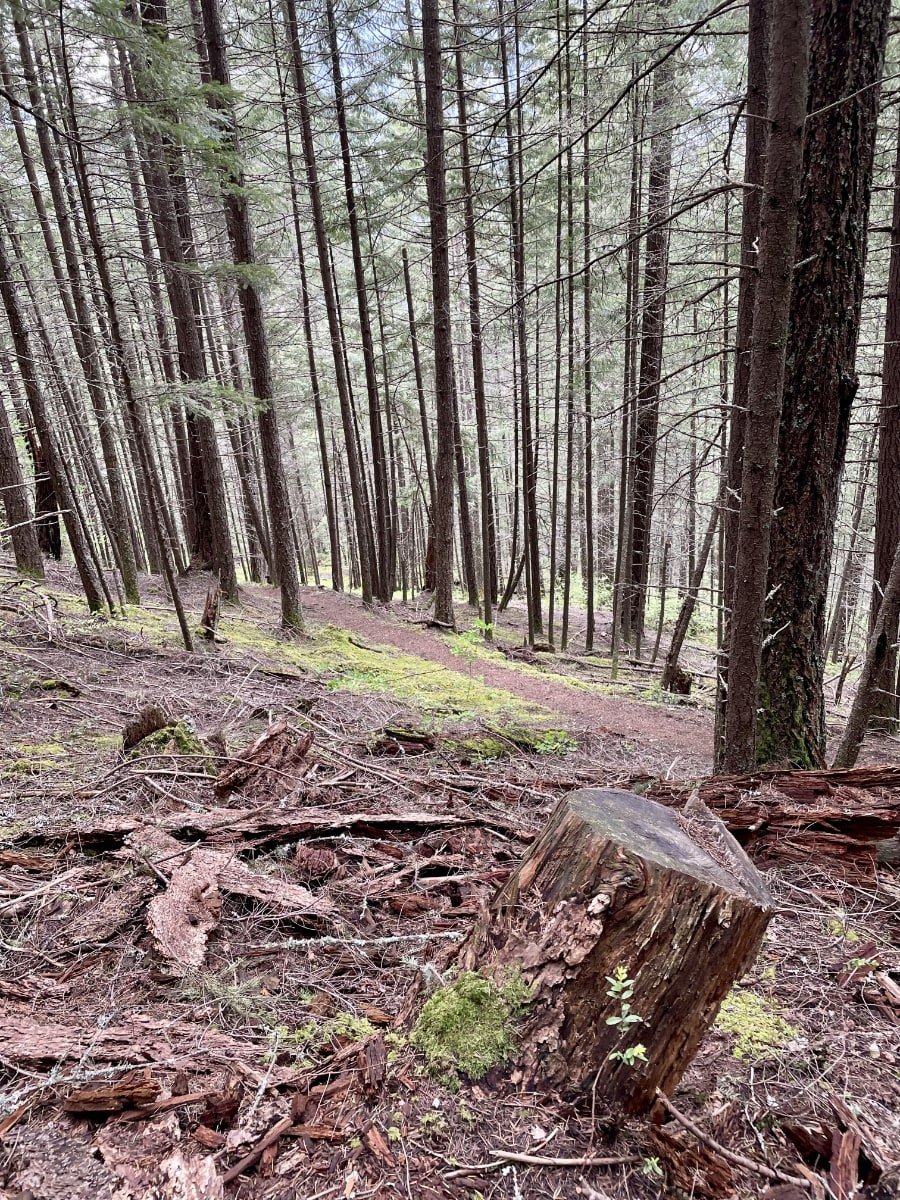
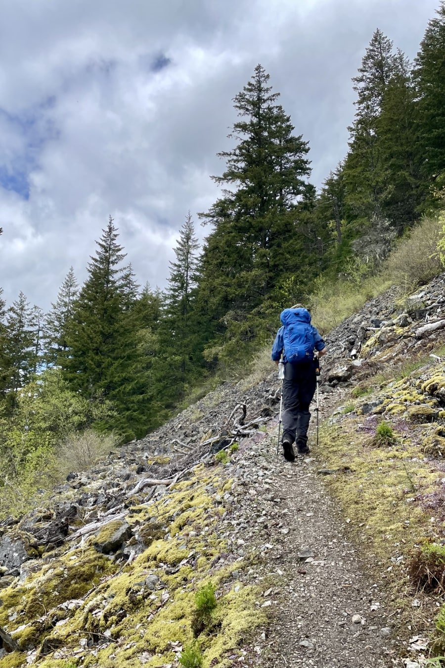
The steepness of the first ⅔ of the trail makes it a serious cardio workout, much steeper than the switchbacks of trails like the one going to Garabaldi Lake or Elfin Lakes. We found ourselves taking breaks every couple of switchbacks to catch our breath, something I've never really had to do on any trail. I guess that's what happens when you cover nearly 900, of vertical gain in only a few kilometres.
Traversing Fallen Trees
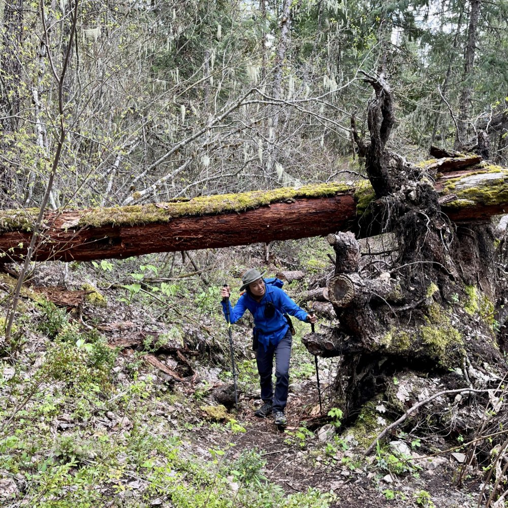
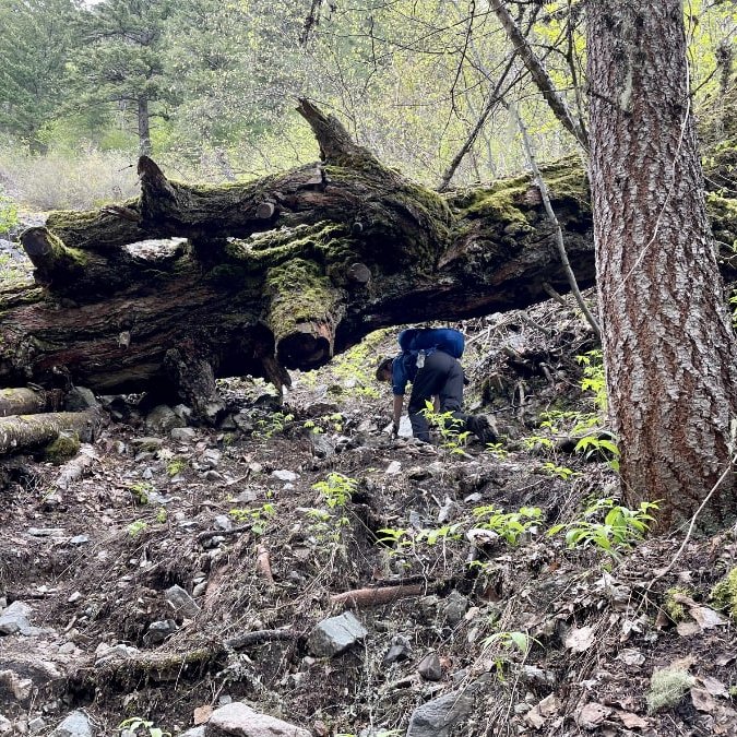
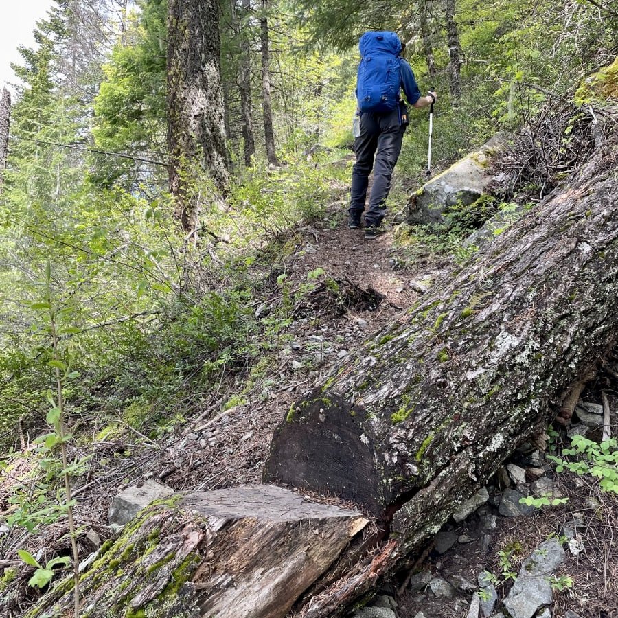
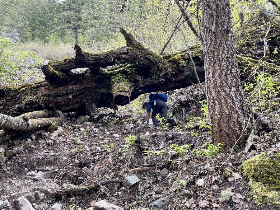
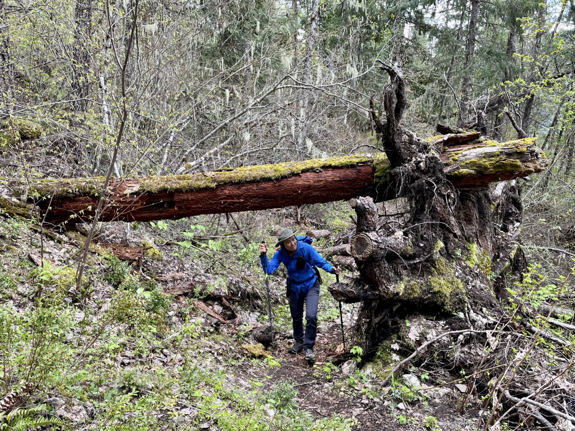
Trees fall in the woods. It's a simple reality of nature. On trails in provincial parks, they are often removed or turned into cute staircases. Some of the trees that had fallen across this trail were simply too big to do anything with, so hikers just have to duck and travel under them. Smaller trees that could be travelled over had steps with grooves cut into them to make it easier, an effort made by the guardians of the trail (I.E. Hope Mountain Centre in collaboration with Spuzzum First Nation, New Pathways to Gold Society, the Ministry of Transport and Recreation Sites & Trails BC) that I appreciate.

A Trail Steeped in History
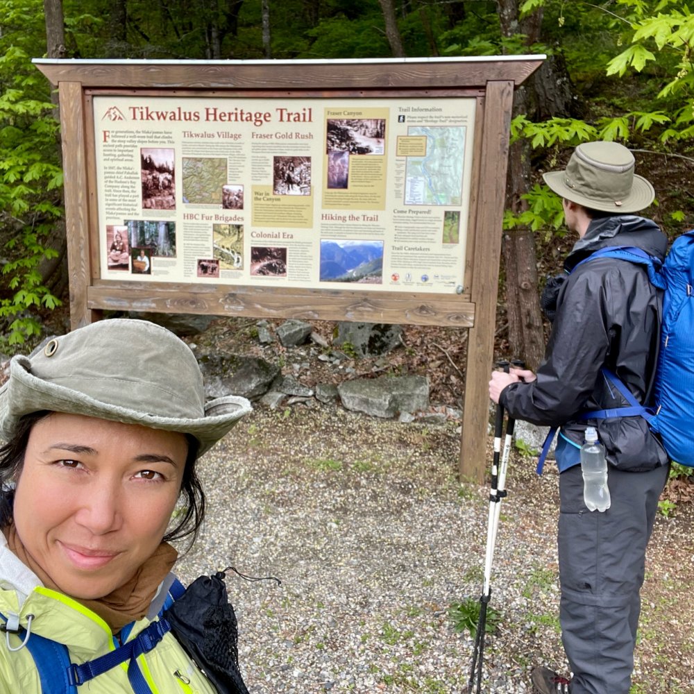
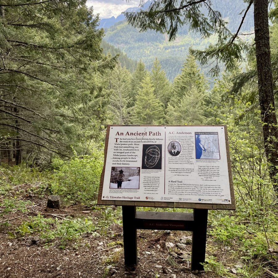
Tikwalus is known as a heritage trail for good reason. A fun feature of the trail is the signs sharing information about the trail, including detailed historical accounts, as well as natural features. I appreciated having the excuse to slow down, in addition to learning more about the fascinating history of the area. The Nlaka’pamux (Thompson) First Nation has traveled this trail through the Fraser Canyon for thousands of years. Used for hunting, trapping, plant gathering, spiritual quests and as a safe travel route that bypassed the sheer canyon walls at Hell’s Gate. Evidence of First Nations’ traditional use can still be seen along the trail today, particularly the CMTs ("Culturally Modified Trees"). These trees are ones that had their bark harvested, with the outer bark being used for roofing and flooring in their lodges, and the soft inner bark pounded soft and used to make clothing, bags and mats.

The trail’s other name, the “First Brigade Trail,” refers to the trail’s brief history as an early fur trading route. The Nlaka’pamux shared their trail with the Hudson’s Bay Company (HBC), who used it to transport furs from Fort Kamloops to Fort Langley. Brigades of up to 400 horses and 50 men traveled this trail in 1848 and 1849 – the HBC’s first attempt at crossing the Cascade Mountains. The trail proved too challenging for ongoing use. The HBC lost more than 70 horses in the first season, and in the end they only used the trail three times during the two years it was used. This made me feel a little better about the number of rest breaks we had to take on the way up.
The Bluffs Route - Expansive Views Opened Up By Pine Beetle Devastation
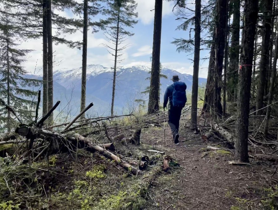
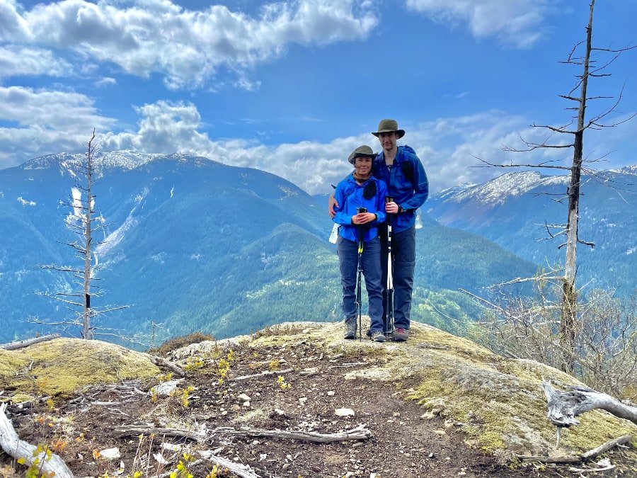
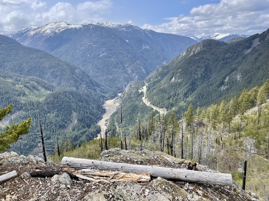
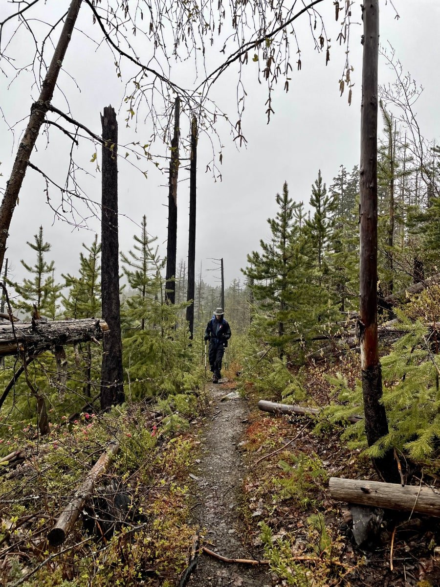
When all the hardest parts of the trail are behind you, you come to a fork in the trail where you choose your own adventure. You have the option of taking the 3-km Bluffs Route or the 3.5-km Lake Route. We chose to take the bluffs route first. Knowing that we were going to get a storm on the hike home, we chose it with the idea that it would likely have more expansive views of the surrounding mountains and the Fraser Valley far below. We chose wisely.

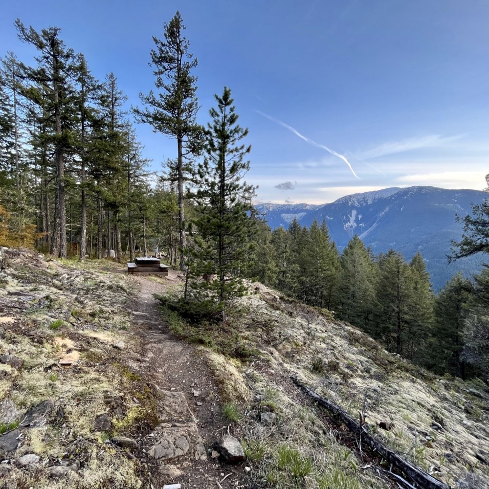
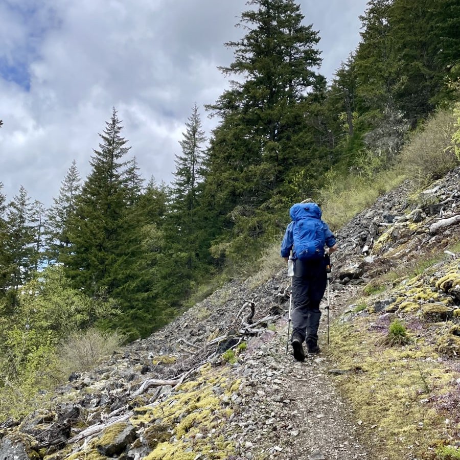
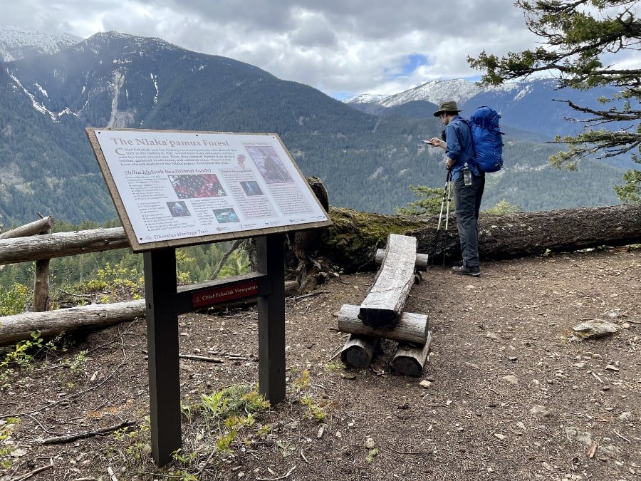
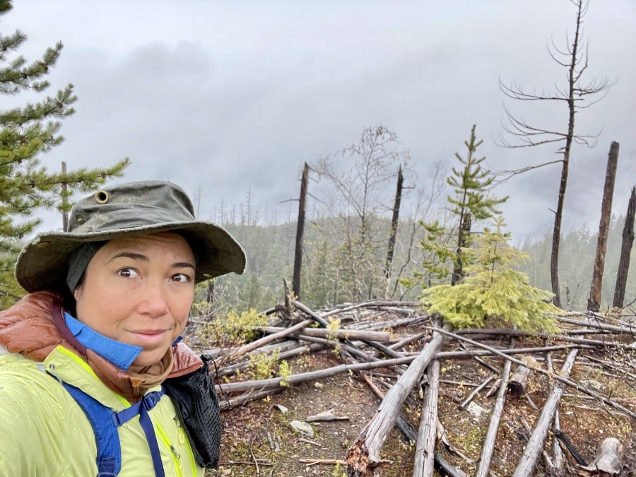
As we approached the bluffs, it quickly became evident that the entire area had been severely devastated by the pine beetle outbreak from 1999-2015. Vast numbers of trees were dead in the ground or on the ground. It was hard not to be a little sad as we hiked through the graveyard of ancient trees, while still enjoying the view that the devastation afforded.

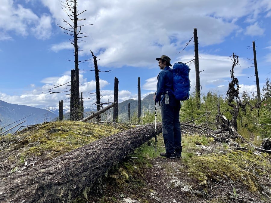
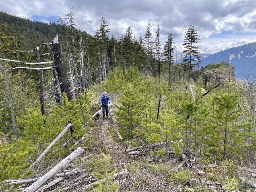
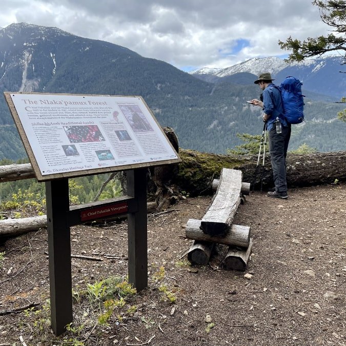
The Black Canyon Viewpoint, is a good place to take a rest and have a snack while taking in the view, with an informational sign and seating where you can take a load off.
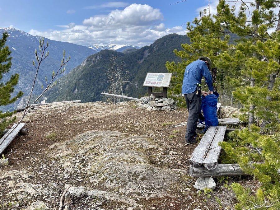

Tikwalus Campground Facilities
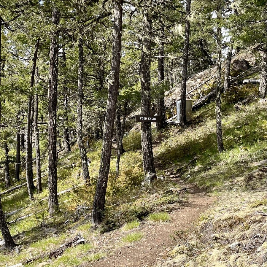
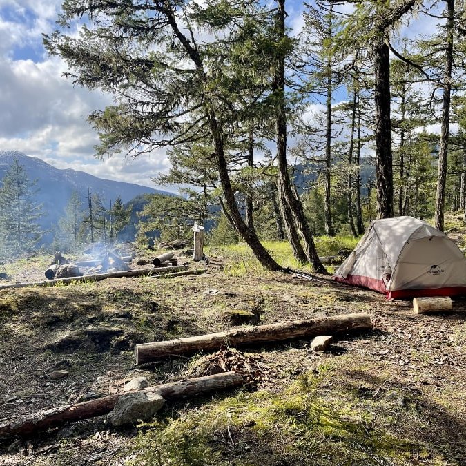
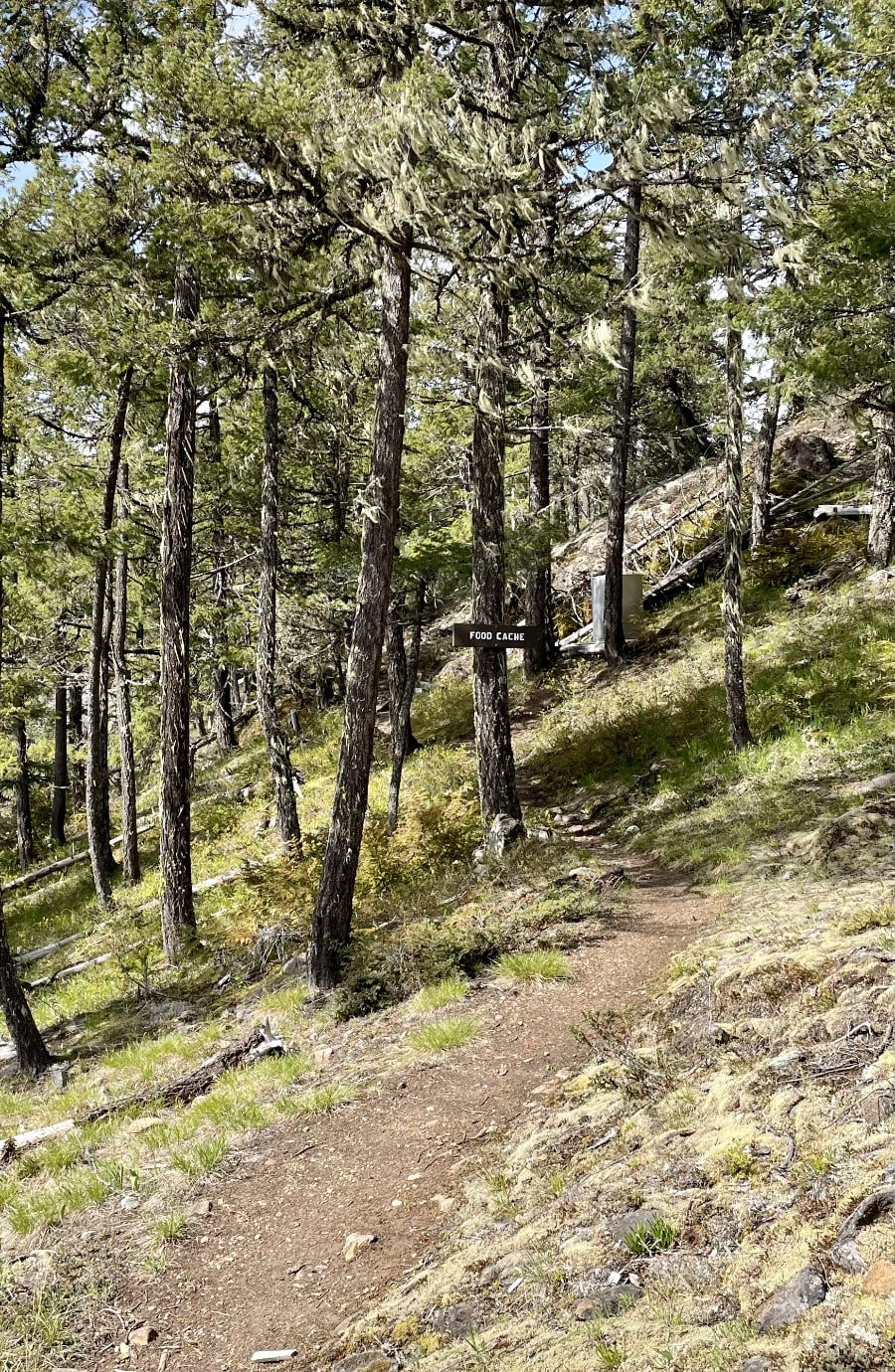
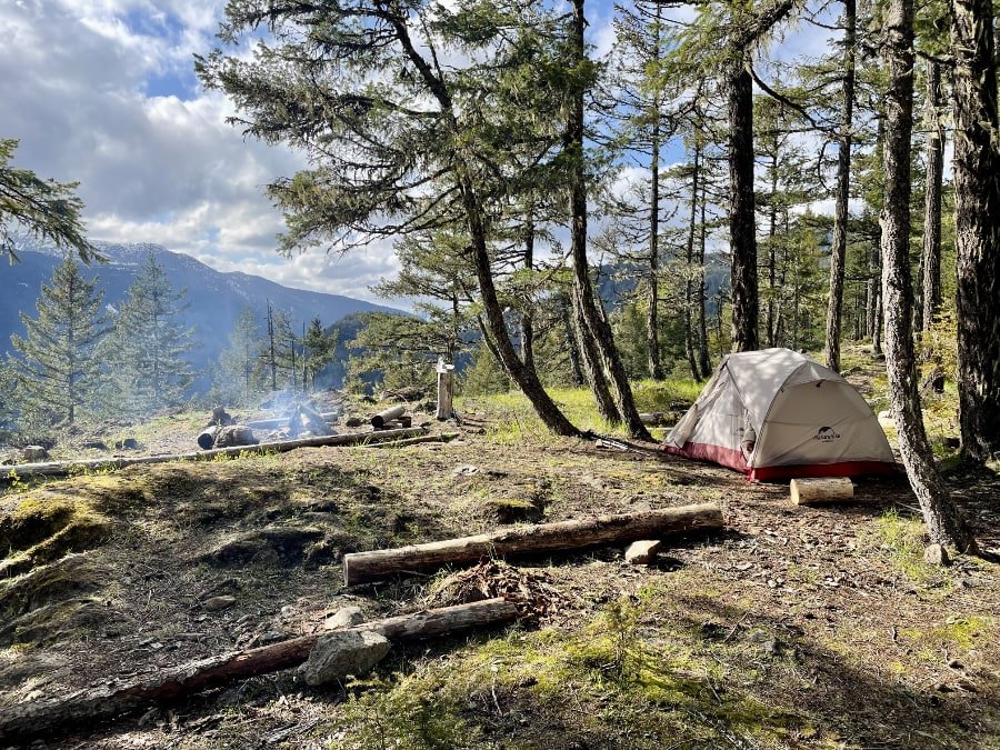
For a trail that is completely free to camp on, and not maintained by BC provincial park rangers, the campground is really well kept, with a lot more facilities than I would have expected. There is a food storage lock box, plenty of fire pits, some with log benches, a picnic table, even an outhouse, though no toilet paper, so make sure you bring your own.
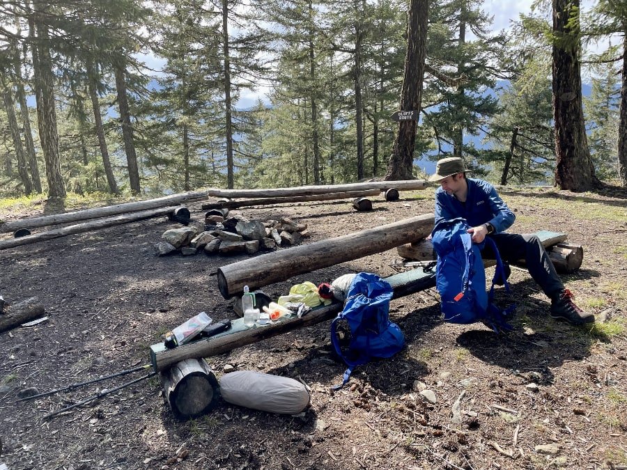
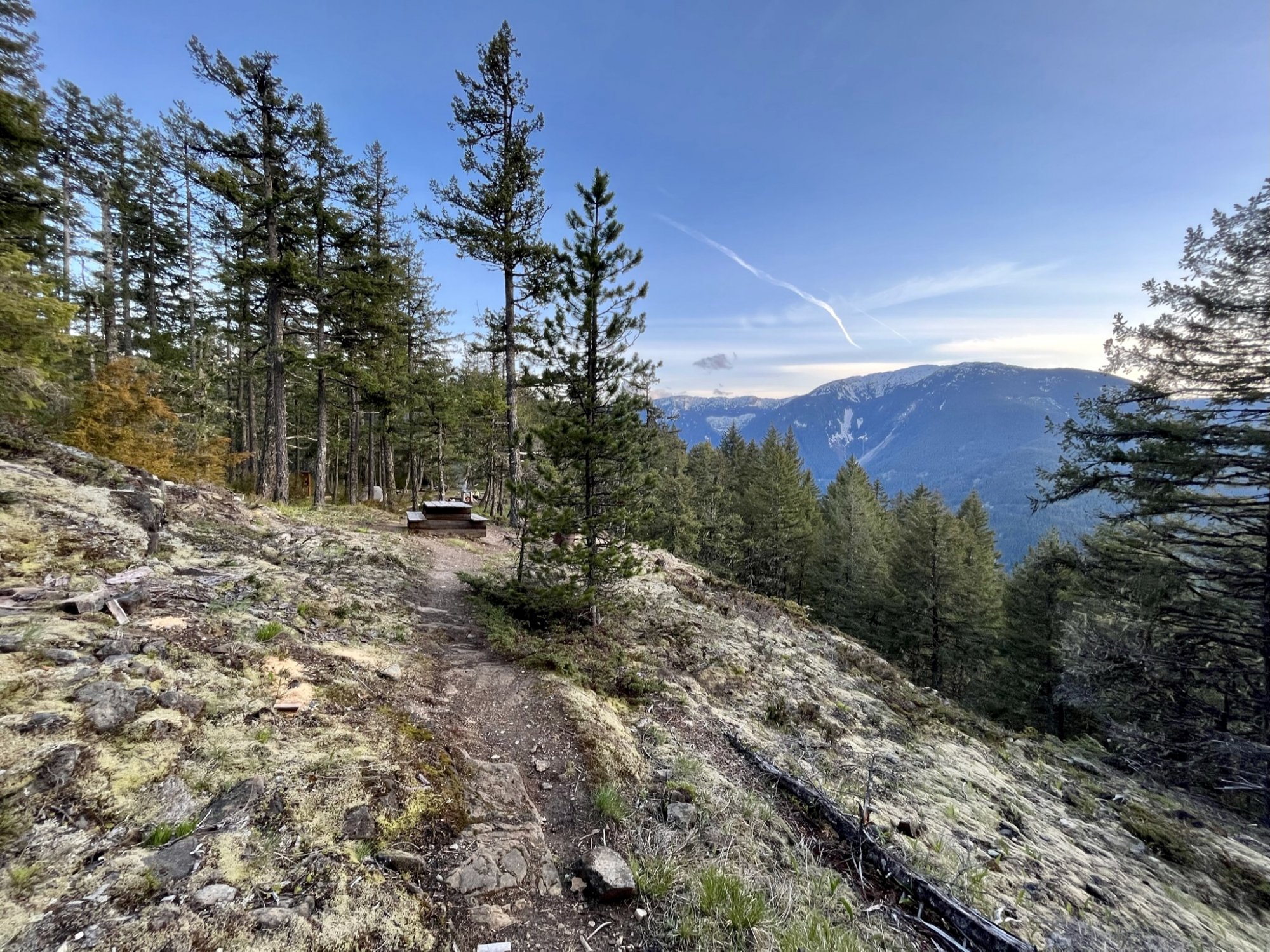
We chose one of the many idyllic spots to set up our tent. With no other campers around, it was almost hard to choose, with each spot as nice as the next.
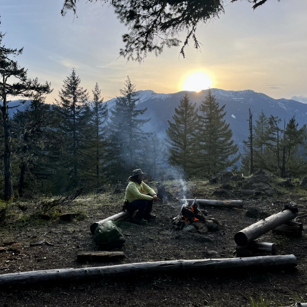
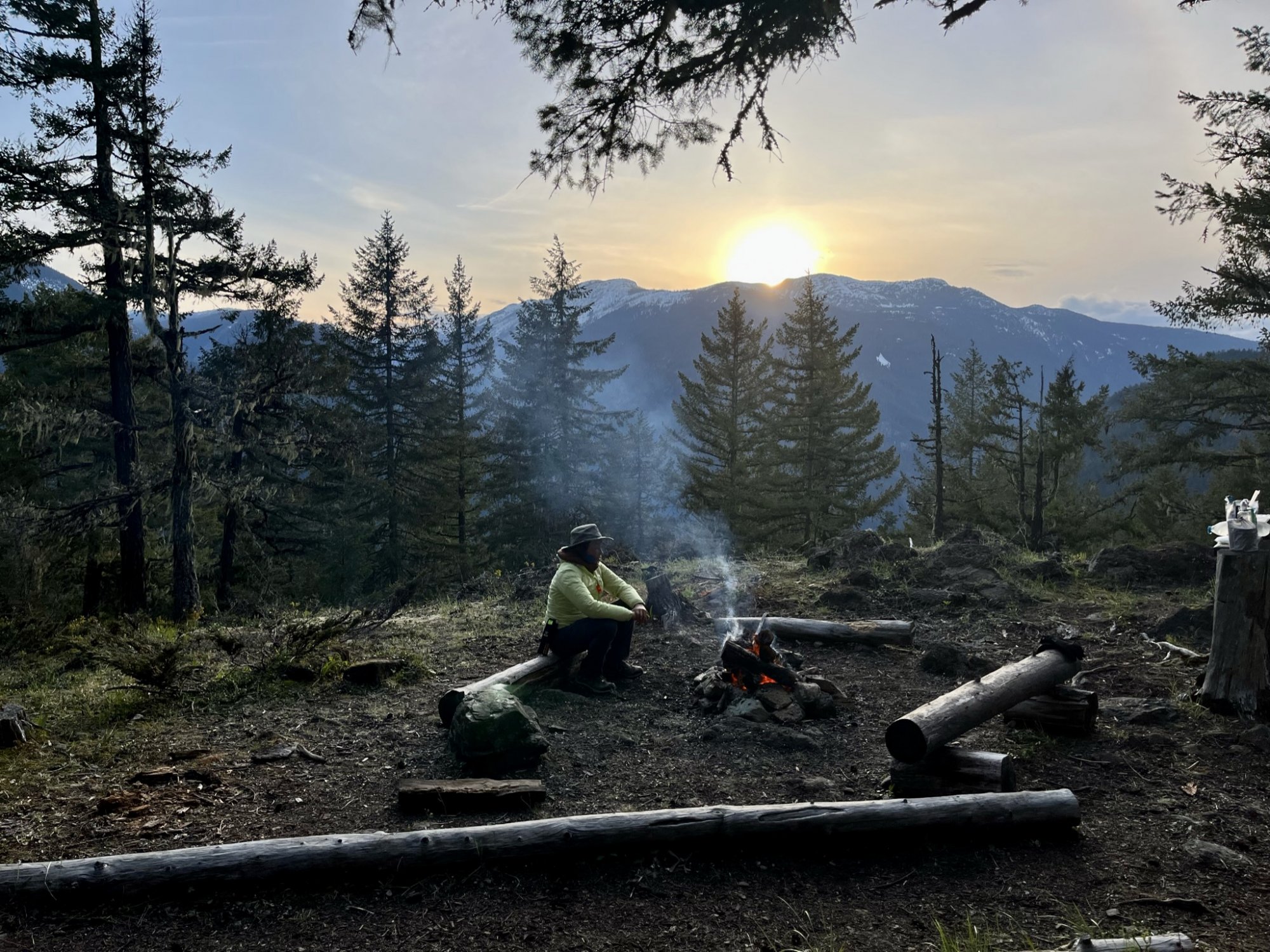
Due to the forest restoration, the park guardians encourage the use of wood for fires (when there's no fire ban). There is an abundance of dead wood due to the pine beetle devastation, and they have even made efforts to cut the wood into usable logs for campfires. Knowing this, I brought some fire starting supplies, and we enjoyed a nice campfire with a view of the nearby mountains as the sun went down.

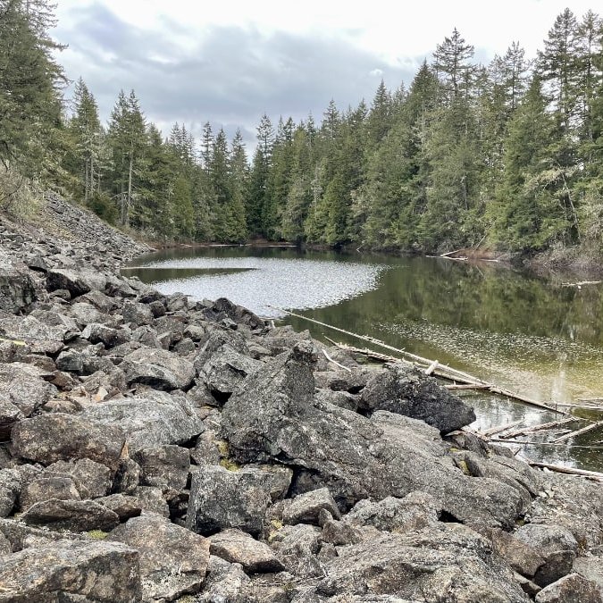
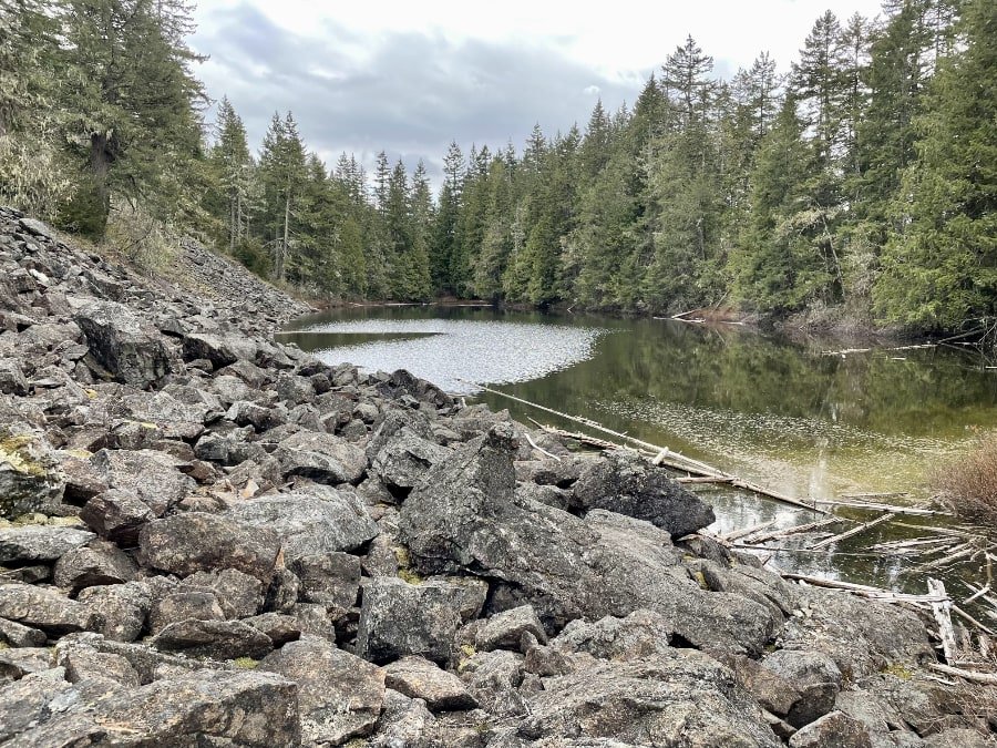
The information sign clearly marks the route to the nearby lake where you can gather water, which of course needs to be boiled, filtered or treated. If you are coming on via the Bluffs Route, you'll see a trail markers leading down to the lake from the trail. You may want to head down to collect water before continuing on if you're too tired to make the trip back later.
A Rainy Hike on the Lake Route
In the morning we woke to the sounds of rain drops hitting our tent. It was light, but we were well aware that it was supposed to get much worse, so we got up, broke our tent down and got on the trail with cold coffee in our bottles. We didn't want to waste any time, knowing that we were going to have to go down a fairly steep trail when it was wet and potentially quite slippery.
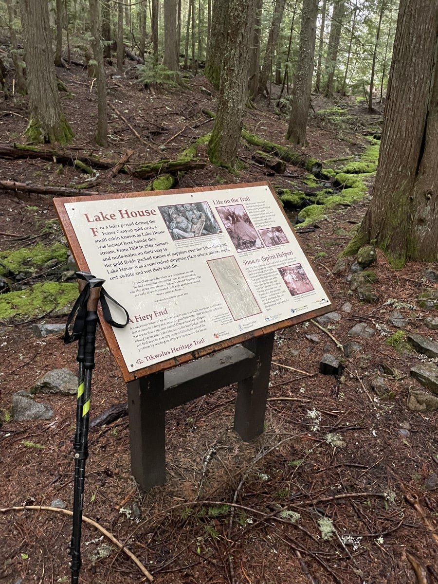
We went past the site of "The Lake House" marked only by a bench and an informational sign detailing its history. It was used by miners and mule-trains from 1858-1860 as a convenient stopping place to rest and wet their whistles. There is no evidence of the house that once was however, having come to a "fiery end", when a judge sent an officer to burn it down to prevent its use for illegal liquor trade in 1860.
The Lake Route travels up the mountain looping further into the woods away from the main road. There may have been a cool view there, but with the all the clouds from the storm, it was hard to say what you could see on a clear day.
Travelling Down the Steep Section
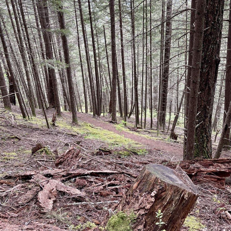
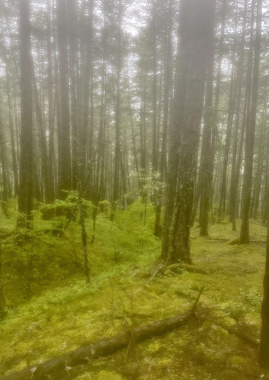
When we got to the fork in the trail where we anticipated the trail would be treacherous, we were pleasantly surprised. It was still rainy AF, but because of the abundance of pine trees surrounding the trail, we found that the mud didn't really collect in a way that made the ground super slippery. This was thanks to all the pine needles. They naturally absorb the water in a way that keeps it from pooling, while also preventing soil erosion. Other than the odd root or rock, it really wasn't slippery at all. And the misty mountain air made the forest really pretty on the way down too.
It is still really hard on the knees if you have to take your time and go slow, so I highly recommend hiking poles if you have knee issues or just simply want to transfer the impact over four limbs rather than two, to minimize soreness the next day, or days as it was in our case, and yes, that was with the use of poles. We were pushing it a bit by having two hard hikes within a week of each other, and we haven't really been doing a ton of hiking in the past few months due to all our preparations for the upcoming move.
Overall, we loved the Tikwalus Heritage Trail, all its interesting history and wonderful backcountry camping facilities. Both of us much prefer the more natural terrain over the highly manicured Sea-to-Summit Trail. That being said, it's not for everyone. If you have any issues on this trail, there may not be many people around to help you out. There is cell phone service closer to the beginning, but once you get closer to where the Bluff/Lake routes start, there is only intermittent service, so bear that in mind and be prepared for emergencies.
Now over to you. Have you hiked the Tikwalus Heritage Trail? What did you think of it? Please share your thoughts in the comments so we can all benefit from them.
