In my last blog post, I wrote about my journey on the Cape Scott Trail, the first half of my solo-hike in which I hiked both said trail and the North Coast Trail. In this blog post, I'll cover the latter, the far more gruelling half of my journey.
From the Trail Junction to Laura Creek
After packing up my gear at Guise Bay, I continued back along the Cape Scott Trail and headed back to the Nissen/Nel's Bight Junction, taking me onto the North Coast Trail extension, just over 43km of rugged coastal, forest and marshy terrain (Did I mention the marshy part? That part should NOT be glossed over in any way...). The trail to Nissen Bight was innocuous, similar to the forest terrain I had already experienced, foresty with a little mud. Nissen Bight itself had a gorgeous beach and would have made for a lovely place to camp, but no, my plan was to get to Laura's Creek that day, only another 2km along the beach and 5km through the forest, which didn't sound bad in my mind, considering how the terrain had been so far. Boy, was I in for a rude awakening.
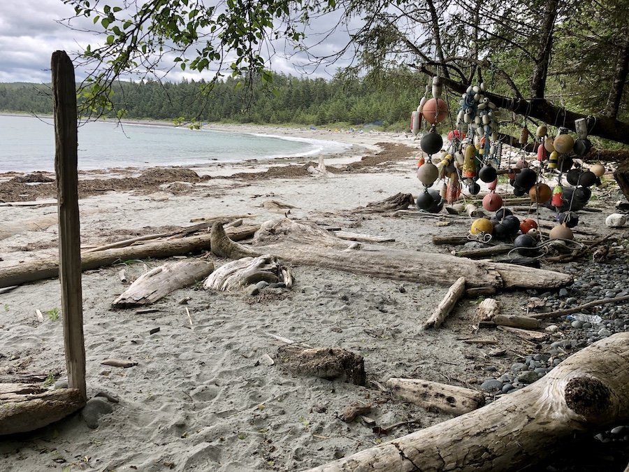
As soon as I stepped off the Nissen Bight beach and onto the forest trail, I was immediately assailed by the ruggedness of the North Coast Trail. It is described by many on the Interwebs as being "like how the West Coast Trail was in the 70s." The forest trail from Nissen Bight to Laura's creek seemed like 5 of the longest kilometres I had ever hiked, with overgrown bushes whapping you in the face, downed trees you have to climb over, slippery wet roots, and tons of muddy sections. Those mud sections have you trying to hop from rock to rock to avoid soaking your boots or stepping in mud that is way deeper than it looks. I was wearing pants that were more or less waterproof, but I was able to get by without putting on my gaiters simply by picking my way more carefully. This, however, slowed my pace way down quite a bit. If I'm honest with myself, I was lucky that I didn't misstep. One wrong step and I could have had muddy water pour right over the top of my hiking boots.
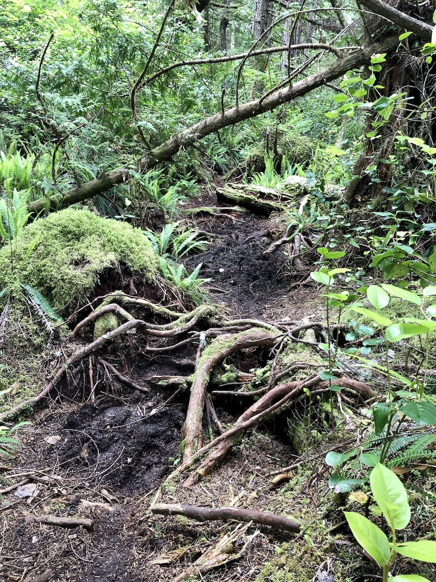
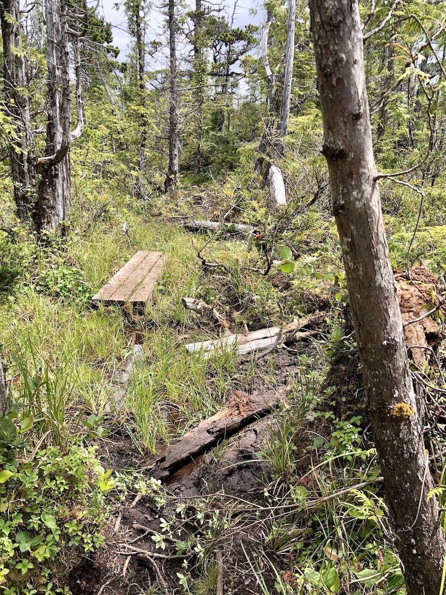
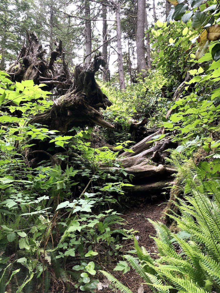
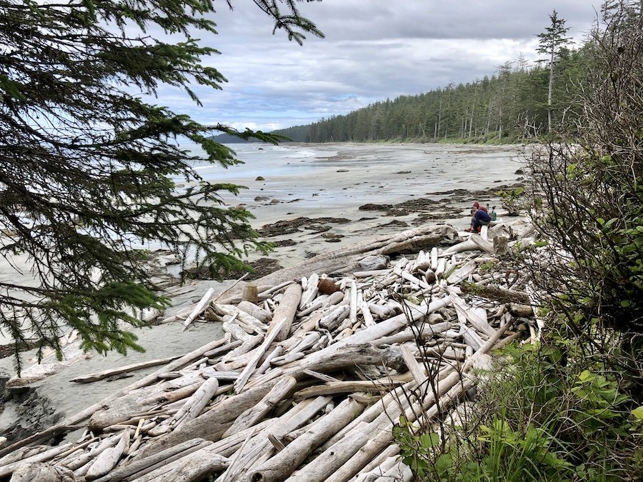
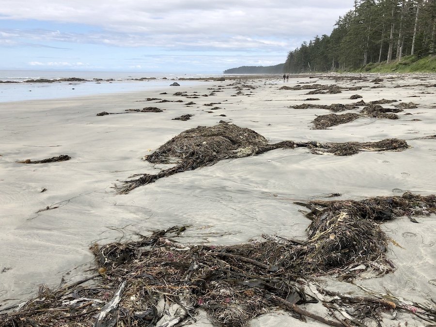
On top of the mud, the trail was more closed in with overgrown branches, making me increasingly claustrophobic the longer it went on. That section of forest trail seemed to go on forever, made worse by the fact that it was at the end of a long day of hiking. I was mentally, physically and emotionally at the end of my rope. I wanted to rest, but because it was so closed in and the conditions so miserable, there really was no place to do so comfortably. The only choice was to just push on. The trail from the start of Nissen Bight to Laura's creek took me 3 hours to hike. By the end of that section, I was so exhausted that I was ready to collapse by the time I got to the coastal section leading to Laura's Creek. Of course, I still had to hike a ways up the coast to get to the campsite, but at least I had an open, expansive view of the ocean to give me a mental break from the closed in feeling of the forest trail.
Finding Relief at Laura's Creek
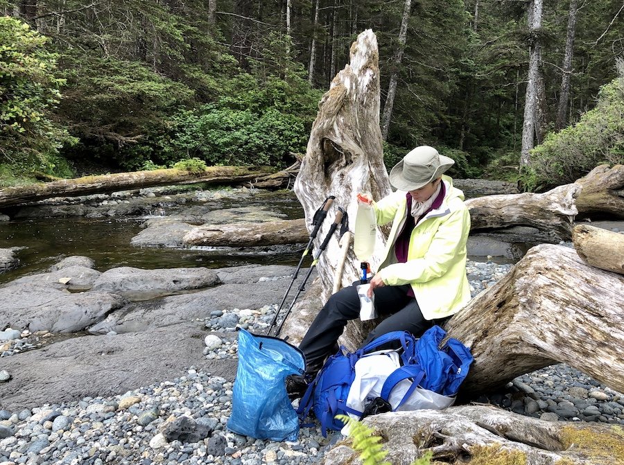
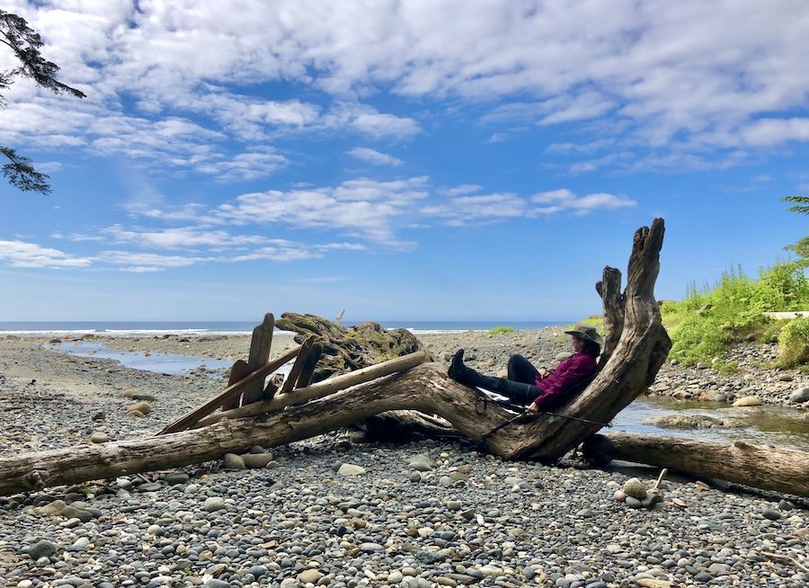
I breathed a sigh of relief when I arrived at Laura's Creek around 4pm. No one was there when I arrived. I walked into the forest to find the tent pads, bear cache and outhouse. I wasn't thrilled to camp in the forest surrounded my more forest brush, rather than camping on a beach with an open view, especially since I was alone, or at least I was when I arrived. I headed further on to find the actual creek for which the campsite was named, a lovely flowing beauty with plenty of fresh, flowing water, as well as logs on which I could rest, have a snack, fill and filter my water bottles before heading back to set up camp. I was tempted to take a dip in the water to cleanse my body of some of the accumulated sweat, but it was so cold and windy, I just didn't feel up for it.
Tent pads are sometimes a challenge for people using tents that need to be pegged down, but my ultralight tarp and bivy system uses a series of knots that can be used more flexibly. I simply wrapped my knots around rocks and found long branches with which to set up my ridgeline (my poles weren't long enough to reach the ground being set up on the tent pad). It was an easy set-up that kept my gear cleaner than it would have on the ground. It's also warmer, which was a bonus.
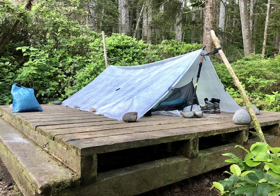
As I was setting up, I heard a group of three young adult couples arrive at the campsite, rolling in around 7pm. I was relieved because I wasn't looking forward to spending the night camping alone in the forest after the day I had had. They weren't impressed by the tent pads in the forest, and were considering pushing on to get to Nissen Bight. I warned them that that section would take them at least 3 hours, and was miserable and muddy to boot, which immediately stuffed that idea.
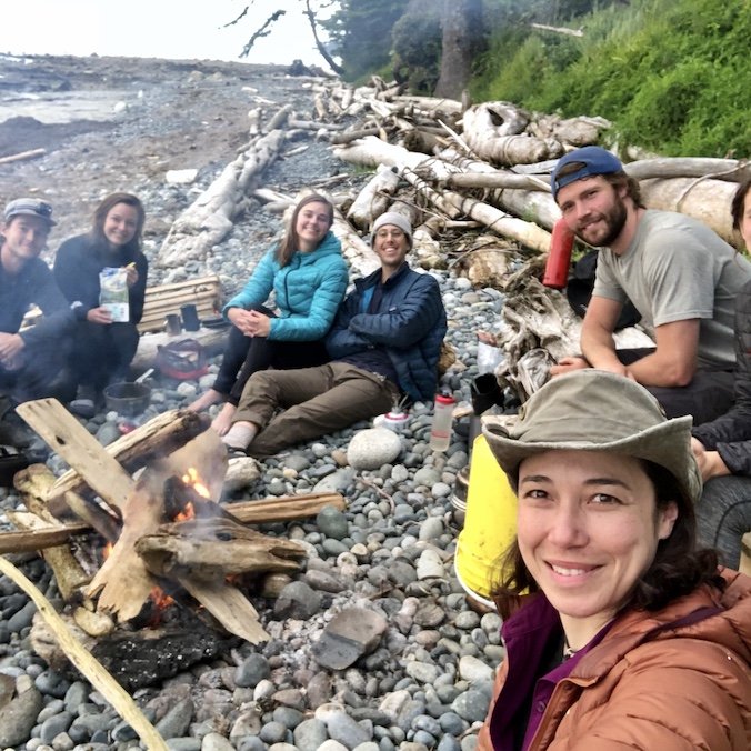
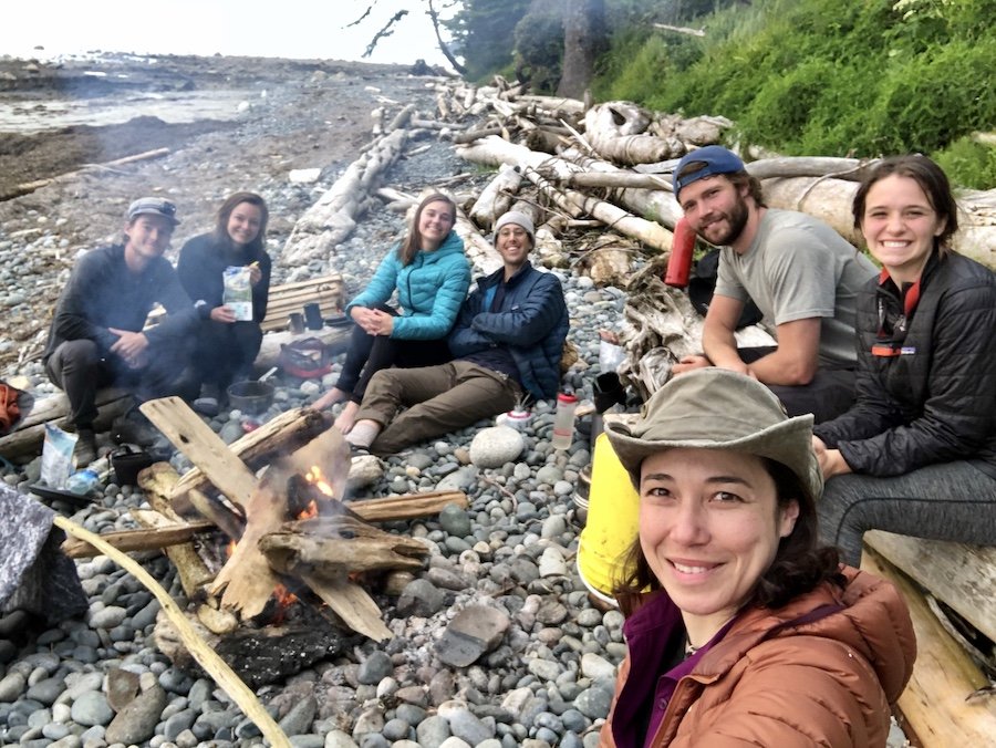
After everyone was set up, one of the couples got a fire going and they welcomed me to join them. We talked about what we did for work, along with the usual small talk, but we also put a lot of focus on each others' experiences on the trail knowing we were going into the territories each other had already covered. I was dismayed to hear that the entire last section of forest trail was miserably muddy. From what I heard, I assumed it would be similar to what I had just experienced and I was NOT super stoked to go through it again. And it was longer to boot. Fortunately, I still had a day and a half of hiking along beautiful coastlines and more open forest trails, some of the most beautiful areas the North Coast has to offer, before I had to tackle that. I was happy to focus more on what I had to look forward to, as well as the company, campfire and sunset that I had at that particular moment. The final bog section was something for "Future Lori" to worry about.
Early Morning Hiking from Laura's Creek to Shuttleworth Bight
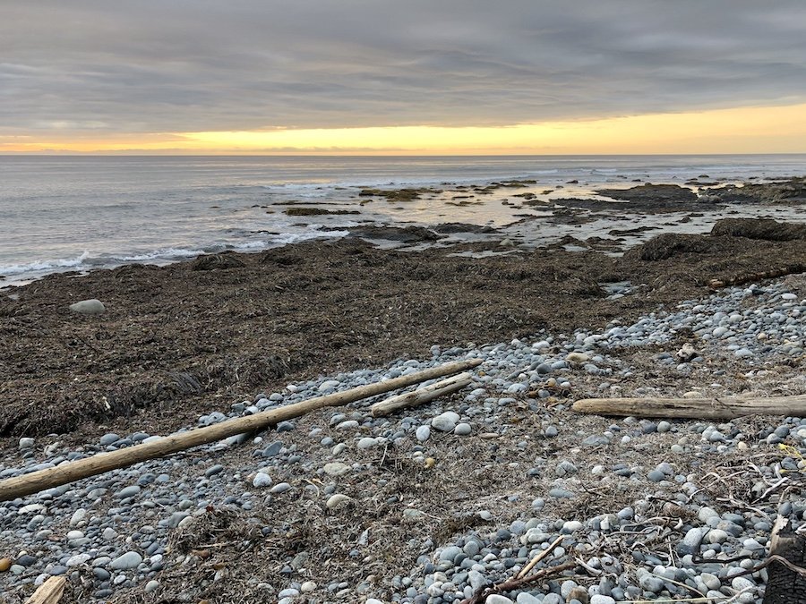
Being in the habit of going to bed between 8 and 9pm and getting up between 5 and 6:00am, I had a slightly later start at 6:30, after having stayed up late enough to watch the sunset's colours wash over the sky and dip into the ocean. I was still packed up and on the trail by 7am, made possible by my habit of time-restricted eating. I don't usually eat before 2pm, and I just mix my instant coffee into cold water while I'm on the trail to get the caffeine into me with less hassle.
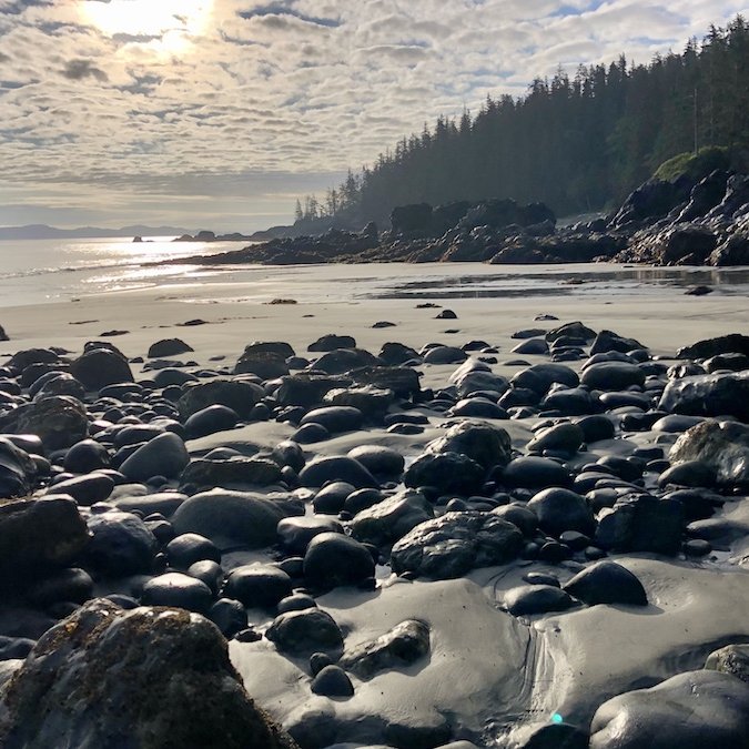
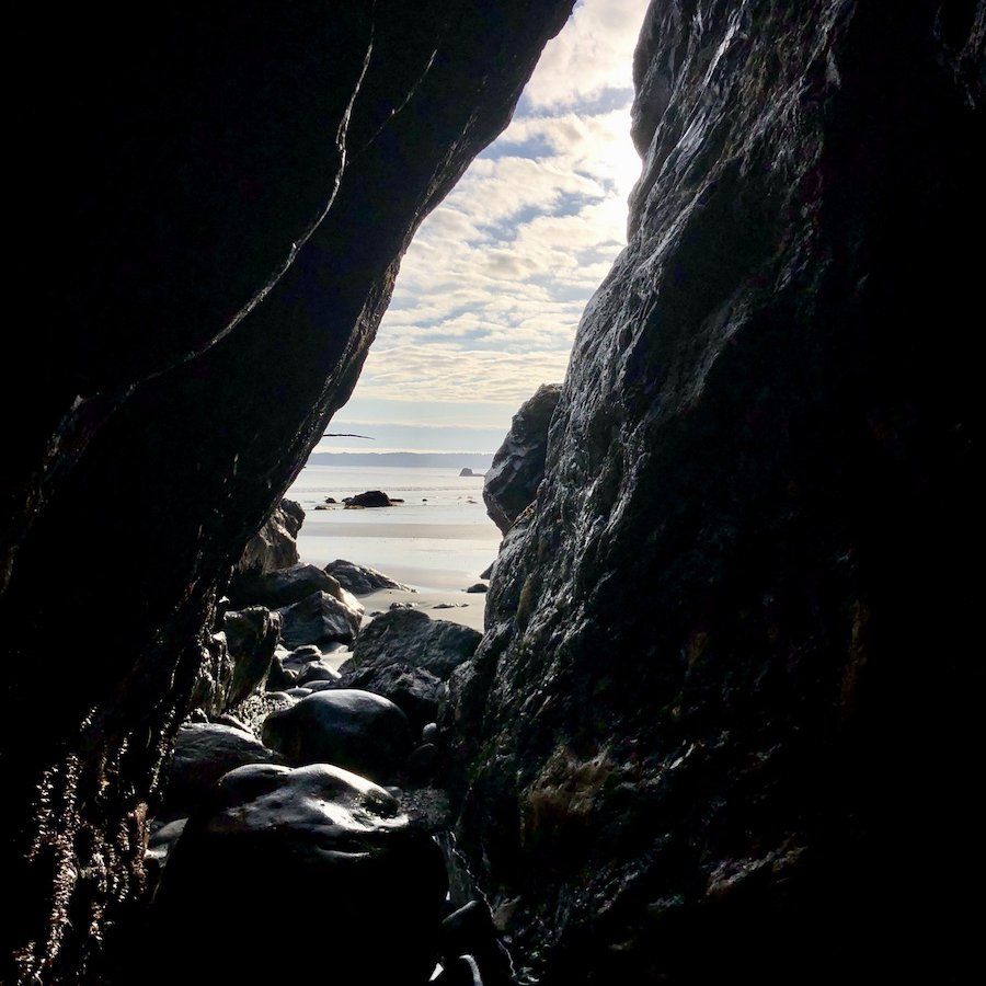
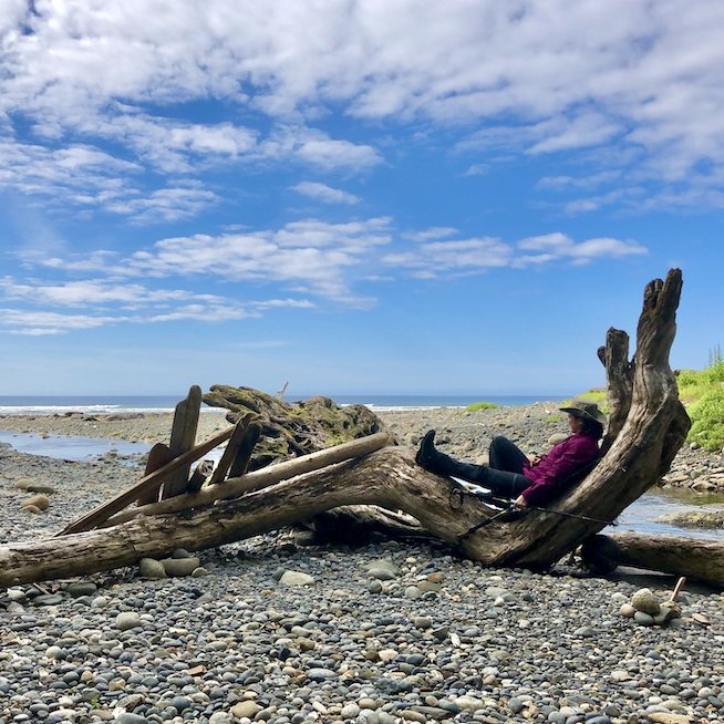
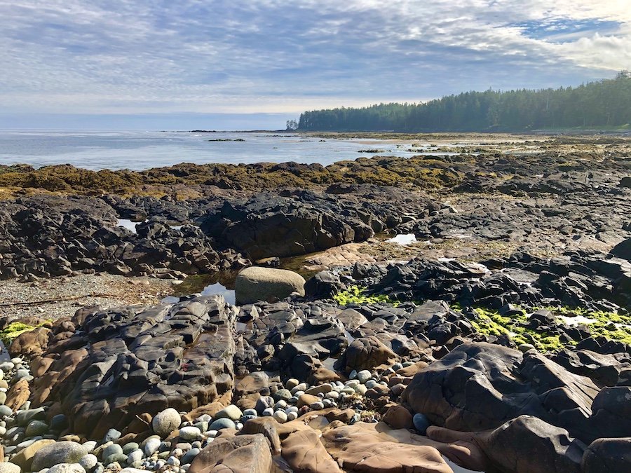
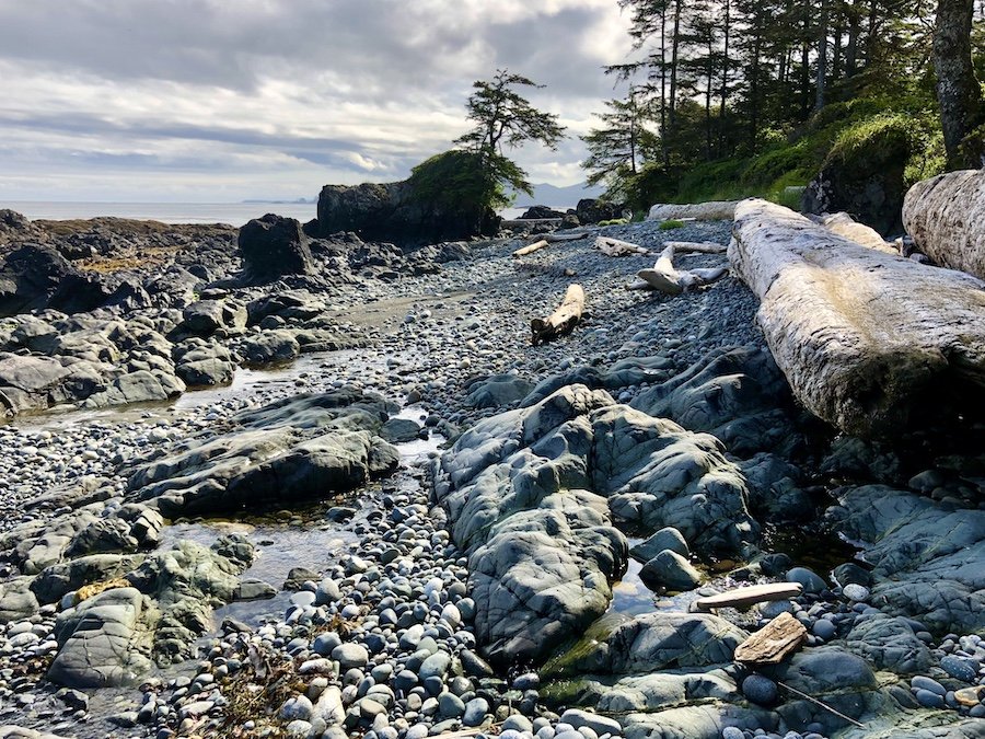
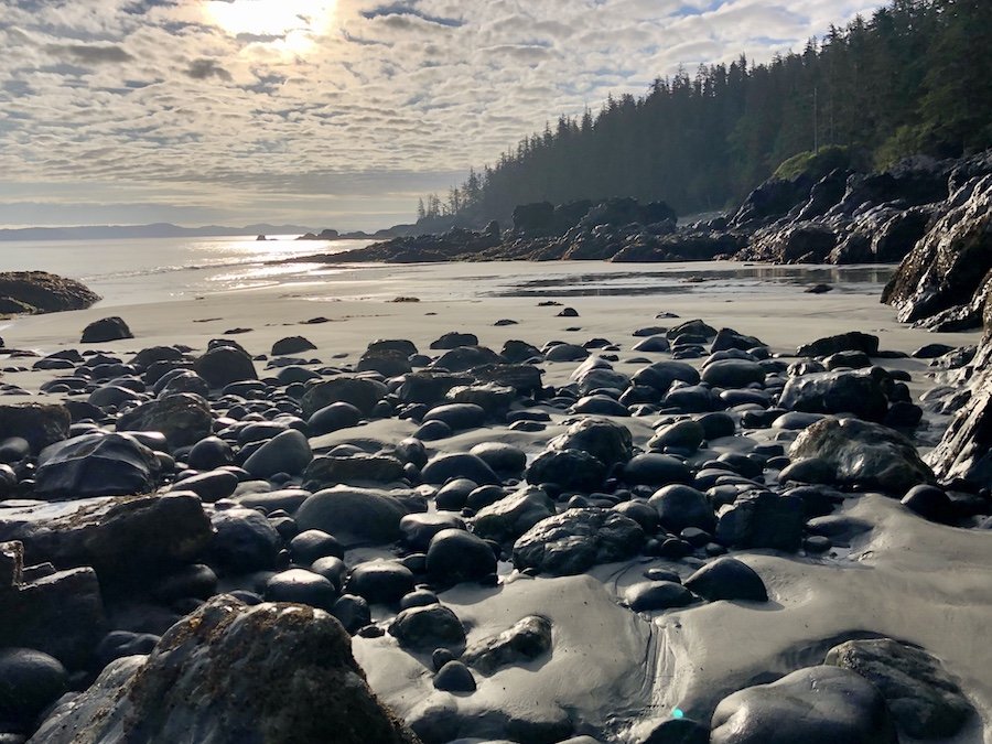
I started my hike at low tide, making for a wide variety of interesting hiking terrain, as you will see in the video that will be in the 3rd blog post of this series. I walked over wet beds of kelp, small stone beaches, lava rock, bundles of drift wood, massive tree trunks, as well as beaches of slippery, unstable fist-sized rocks. The one thing all the beaches had in common, was a slope in which the right side was higher than the left (or the other way around if you start at Shushartie Bay). Being that you have to hike all the coastal section from one direction, this does put more strain on whatever leg is higher. I found my right knee getting more and more sore around the MCL as my hike when on. Thankfully, I only had a base pack weight of 10lbs (not including food and water). Anyone hiking with traditionally weighted packs (⅓ of your body weight), or even over-weighted packs of 30-60lbs, would feel this and all the other rigours of the trail that much more.
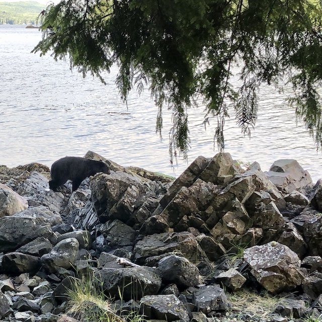
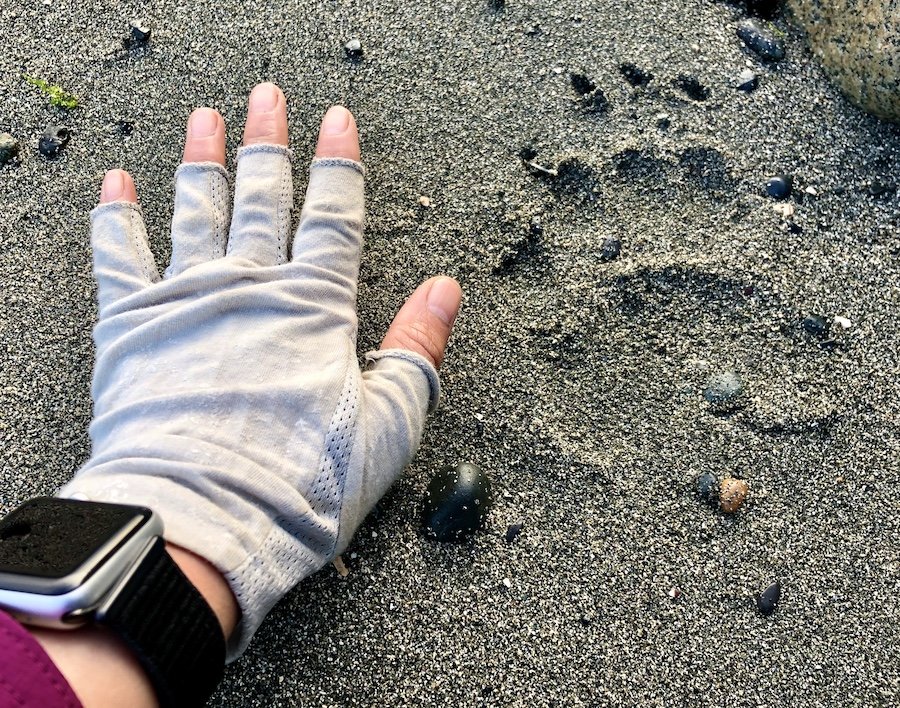
At one point, I spotted a young black bear from a few hundred yards away. I had already seen tons of bear and wolf tracks, but this was my first live animal sighting on the trail. I was far enough that I felt safe to stay where I was and watch it foraging around the shore. I waited until it left the beach and headed into the forest before continuing on my way.

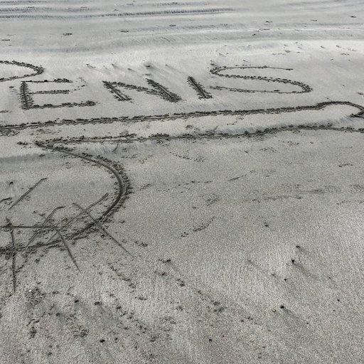
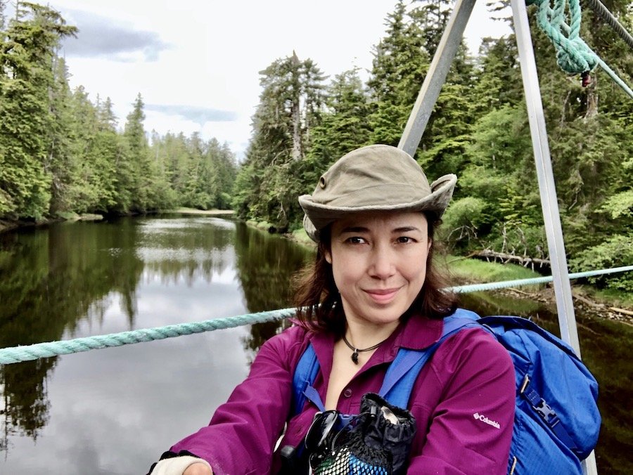
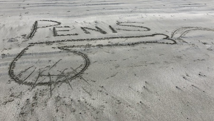
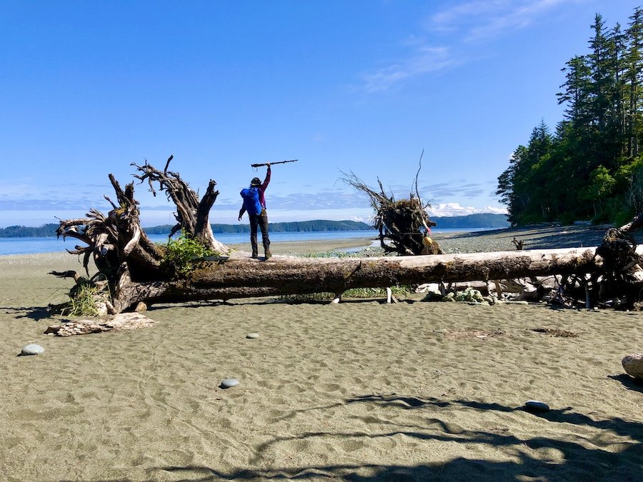
To get to Shuttleworth Bight, you have to hike through a forested trail to get around the river and small section of land that is not part of the park (presumably First Nations land). In that section, I came across a cable car to cross Strandby River. I had been under the impression that there was only one cable car on the NCT, so I thought that was the one. I climbed the ladder, hopped into the seat and glided down to the middle of the river where I lost momentum and needed to pull myself across to the other side. After another short bit of forest hiking, I found myself on the most delightfully sandy beach of the entire North Coast Trail. It was flat and even, and the sand more solid, making it much more comfortable to hike than other areas of the trail. The sand was also great for artistic expression, as was evidenced by a tasteful drawing that I walked by on my way. There is a campsite near Irony Creek, but I must have walked right past it, having not seen any tents set up at the time of day I was going through. I imagine it would have been an awesome place to camp, given the beauty of the beach.
The Last Push to Cape Sutil (with Unplanned Detour Outside the Park's Boundary)
The trail between Shuttleworth Bight and Cape Sutil keeps you mostly on the coast, with a couple of detours into the forest. The first forest section was a welcome break from the hot midday sun I was getting on the beach, but the second one was a little more overgrown and wild. At one point, there was a fallen tree on the trail. With no markers indicating where to go, and the trail not very obvious in that particular area, I had to rely solely on tracking skills to figure out where previous hikers had come through. These are times when you don't mind a bit of mud, making the use of these skills easier. It took me a good 15 minutes to figure it out before I was back on track.
By the time I got back to the coast, I was so relieved to be on the coast that I just wanted desperately to stay on it, wanting a rest from the mental strains the forest brought about. I had it in my head that I just needed to follow the coastline to get to Cape Sutil. Easy peasy... except, I had forgotten that I had to reroute through the forest to get to the Cape Sutil campsite. I blew past the forest trail entrance thinking that there were two routes, one on the coast and one in the forest, and I just wanted to stay on what I thought was the coastal route.
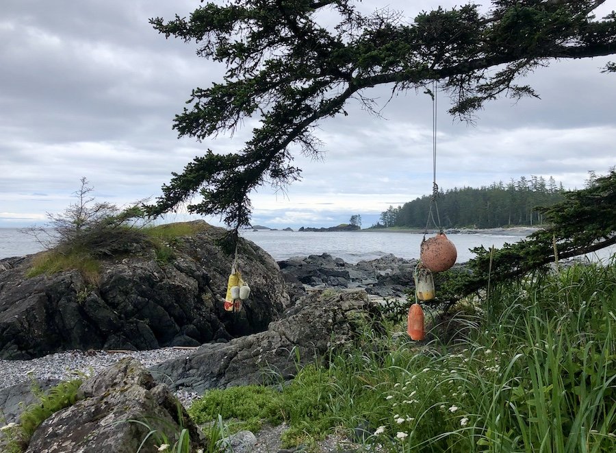
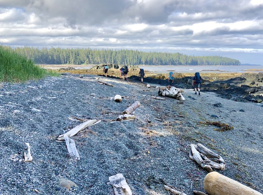

I hiked across two lovely beaches, noting that getting from one to the next seemed more challenging than I would have expected for such a trail, requiring a little bushwacking or bouldering. Eventually I found myself at an impasse. The way around the Cape seemed to require bouldering that would not really be safe to attempt at high tide. And I had already done some scrambling that wouldn't have been very safe for the average person (I'm a little trained and less risk averse than the average with that sort of thing.) I stopped to look at the map on my phone, and groaned at the realization that I had gone too far. I had ventured into the First Nations section of the Cape and there was no safe way to pass through to the campsite following the coast. I would have to hike back to the forest trail, adding on a couple more kilometres to my day than I had intended. I sighed. Oh well. At least I got to see some north coast beaches that most people don't get to see.
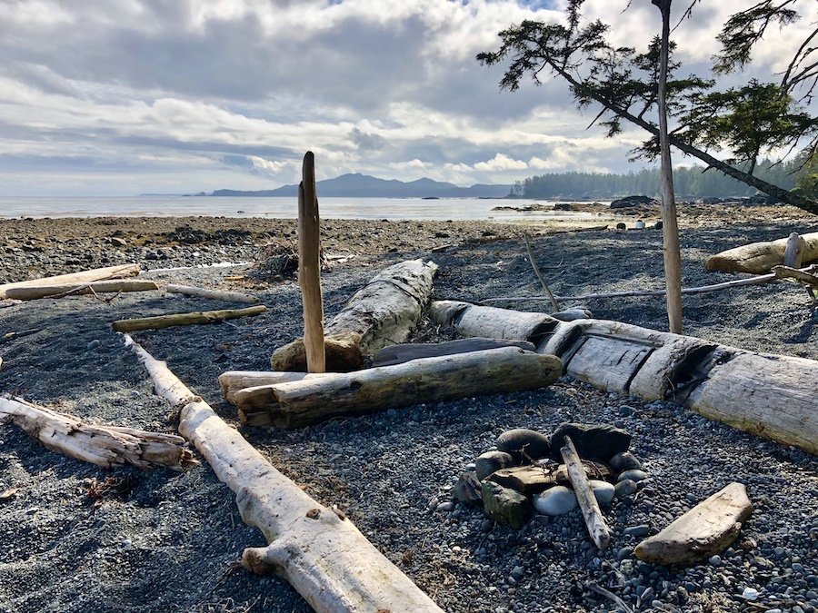
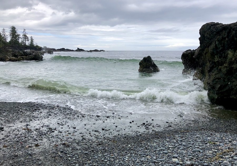
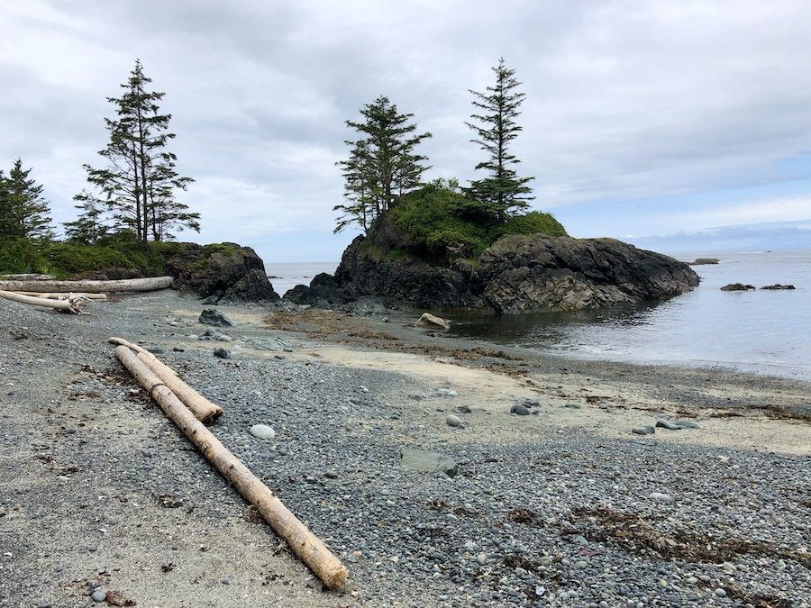
I reached the Cape Sutil campsite around 3:30pm. There was only one tent set up, a woman and her 3-year-old grandson were enjoying the late afternoon sun on the beach. She asked me if I was hiking alone. When I answered her, she told me that I was brave. I looked at her 3-year-old grandson, thinking that he was here and had hiked up to this point from the start of the North Coast Trail, and I replied, "No, he's the one that's brave, then I regarded her, or perhaps you're the brave one." I later found out that she had managed to arrange for the water taxi to drop her and her grandson off at the Cape Sutil campsite while the boy's mother hiked the trail from Nahwitti River to catch up with them, avoiding the hardest parts of the trail. I was surprised to hear this, not knowing that it was even an option to get dropped off elsewhere. Either way, they would still have to hike the section of trail from Laura Creek to Nissen Bight, which I found hard to imagine with a 3-year-old in tow. I'm not a parent, but I couldn't imagine having to keep him happy and entertained for that gruelling section of trail. They were the brave ones, truly.
After asking where to go at the ranger station, I trekked out to the water source to fill up all my bottles. At this point, I really needed to rinse off, but the water source wasn't really big enough for a full dunk, so I settled on undressing and rinsing off a few key body parts in a section further down creek from where people fill up their water. After getting my water sorted, I set up my tarp next to a large log on the beach. The 3-year-old called the log "his boat," so I asked for his permission to set up there. He told me it was okay, mostly he just wanted me to set up my camp close to their tent. For whatever reason, he thought I was a welcome addition to his camping experience.
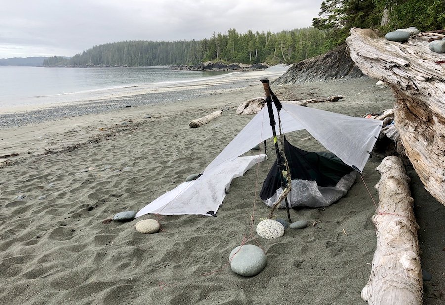
As I cooked my dinner, another group of hikers rolled in around 7pm. I noticed them arrive, and especially noticed when one of them went full-on skinny-dipping in the ocean. I watched the grandmother and her recently arrived daughter walk past on their way to the water source, awkwardly averting their gaze. That's the west coast for you. I later chatted with one of that group of hikers named Andrew, as he came by and explored the rest of the camp. I noticed that he and I had the same CNOC water bag and ZPacks bear bag, which led to a conversation about ultralight backpacking. He liked the set-up I had going with my tarp. He himself was in a heavier silk-nylon 1-person Tarptent, but it was by no means heavy weight around 1kg.
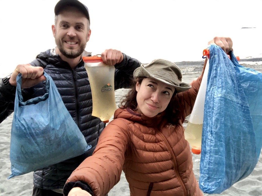
Andrew had hiked the entirety of the PCT last year, from Mexico all the way to Canada in 6 months, a feat I was impressed by. He brushed it off, saying the vast majority of the trail is rated for horses, meaning that it is not challenging, just a long walk.
"It's not like this trail," Andrew continued. This trail has truly challenging terrain." I nodded. He would hear no counter-argument from me. After a little more chatting, we went our separate ways, snapped a few photos of the sunset and settled in to our shelters for the night.
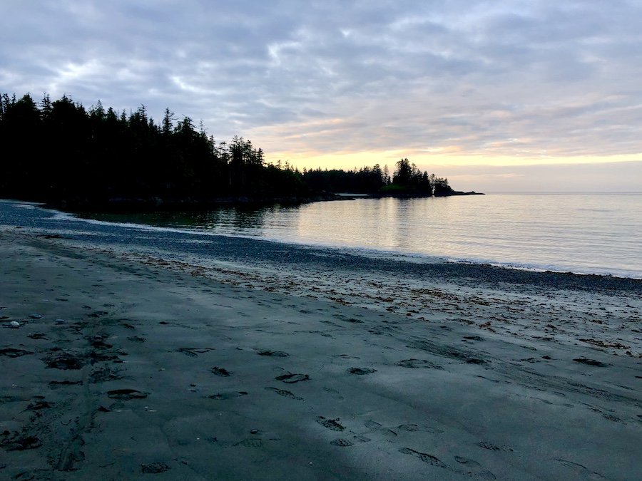
Enjoying My Last Hours Hiking the Coast from Cape Sutil to Skinner Creek
I set off again in the early morning, wanting to hike the coast at low tide yet again. Hiking at low tide usually gives you more routes to choose from while hiking on the coastal sections. There was also one section that was often impassable at high tide, as well as another section that required doing a forest trail during higher tides. The sun at that time gave the most gorgeous lighting for photos of the rocky coastal landscapes.
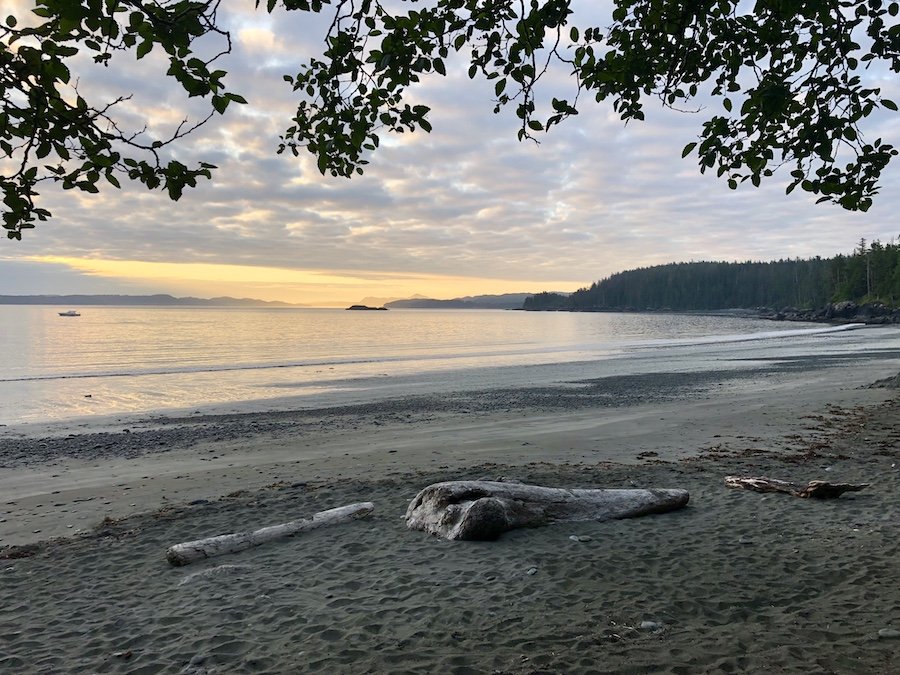
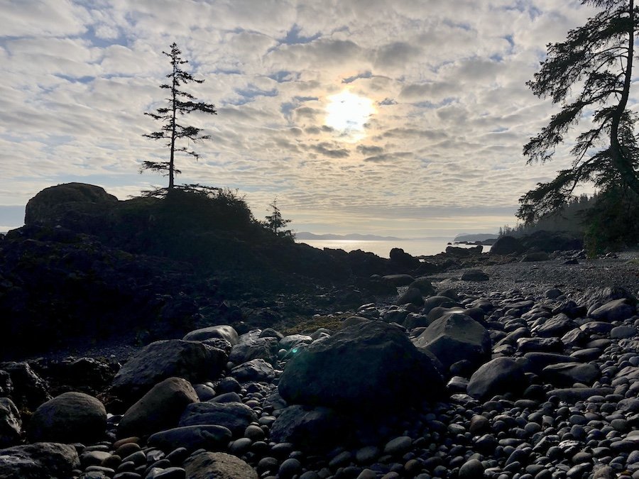
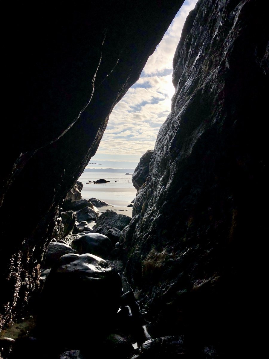
It was hard not to appreciate the beauty of it all as I hiked... which made me feel all the more awkward when the need to poop arose while hiking along the seaside. I had read that it was totally kosher to go "surfing," a concept I first read about in the West Coast Trail book, Blisters and Bliss. The basic idea is you find a private place on the beach near to the ocean, away from water sources. You then dig a hole, do your business, cover it up, and let the Pacific ocean carry your dirty work away. Having lost my bottle of hand sanitizer at some point, this method seemed preferable to using a public outhouse at a campsite. I did a quick scan for people, dropped my pants, and did my doody. A little sea water served as a backpacker bidet, and I was ready to hike on.
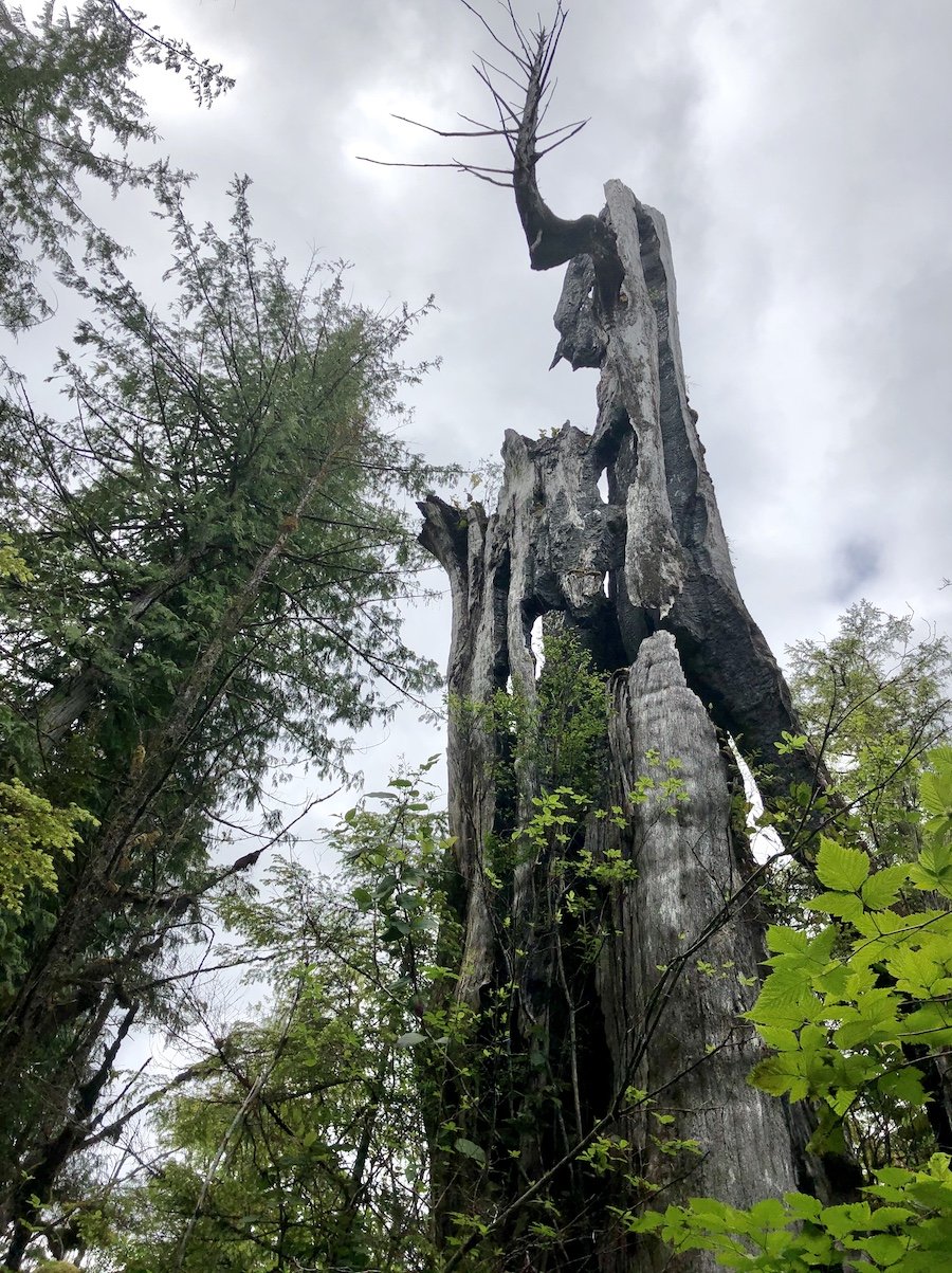
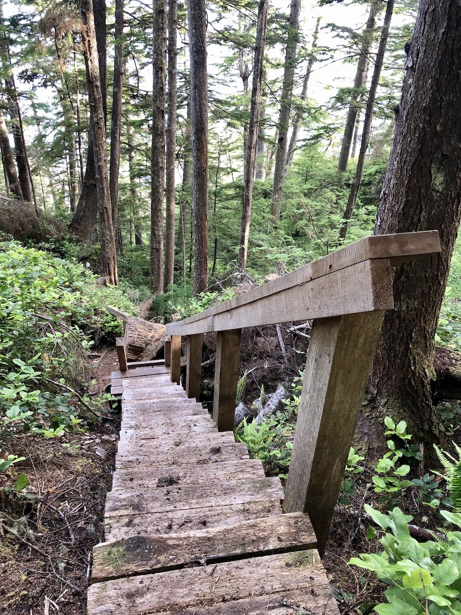
Halfway to Nahtawitti, you have to hike through a forested section. In this section, you climb the longest staircase of the entire trail, taking you to the highest point of the trail, a whopping 225 metres. Upward hiking is not one of the biggest challenges of the NCT. The mud on the other hand... While there weren't as many muddy areas as the trail between Laura's Creek and Nissen Bight, some sections look easier than they are. Old tree trunks that have been used to get past muddy sections by hundreds of hikers were smoothed by the foot traffic and usually damp, making them look stable while actually being very slick. I slipped on two such logs in this section. The first one had me slide down a slanted log, falling turtled on my pack. As I fell, I thought, "God, I hope I don't fall in mud." Luckily, there was no mud, and I only wounded my pride. I remember thinking that that was a close one, and that I need to be more careful. And I was more careful, but luck would have it that I happened to find another log that looked like it would be safe but wasn't. Trekking poles helped me keep my footing most of the time, but that particular slip was a banana peel style fall. And that time, I did fall in the mud, covering my lower right side in mud. A couple of bruises also ensued from the incident the following day. I was so pissed at the unforgiving nature of the terrain, knowing that I had been warned that the worst was yet to come. I made myself shake it off and continue on.
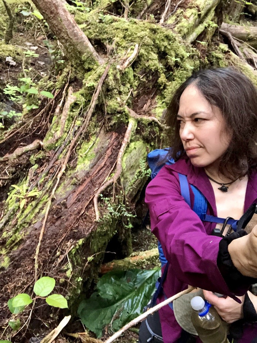
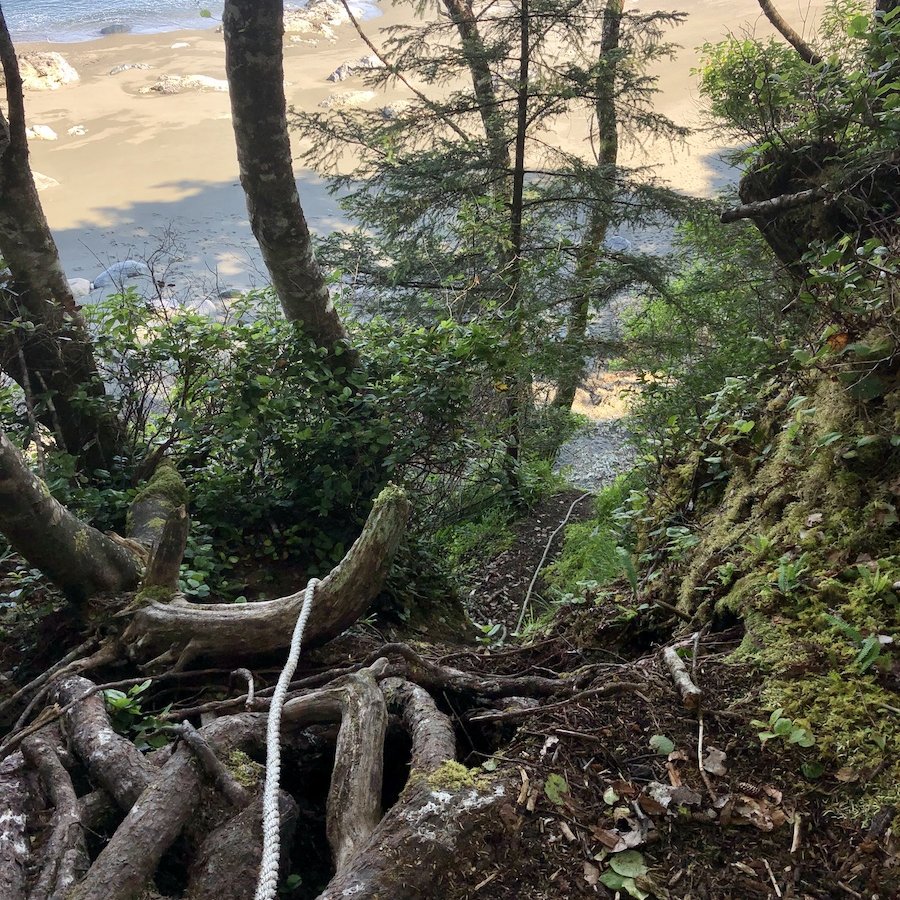
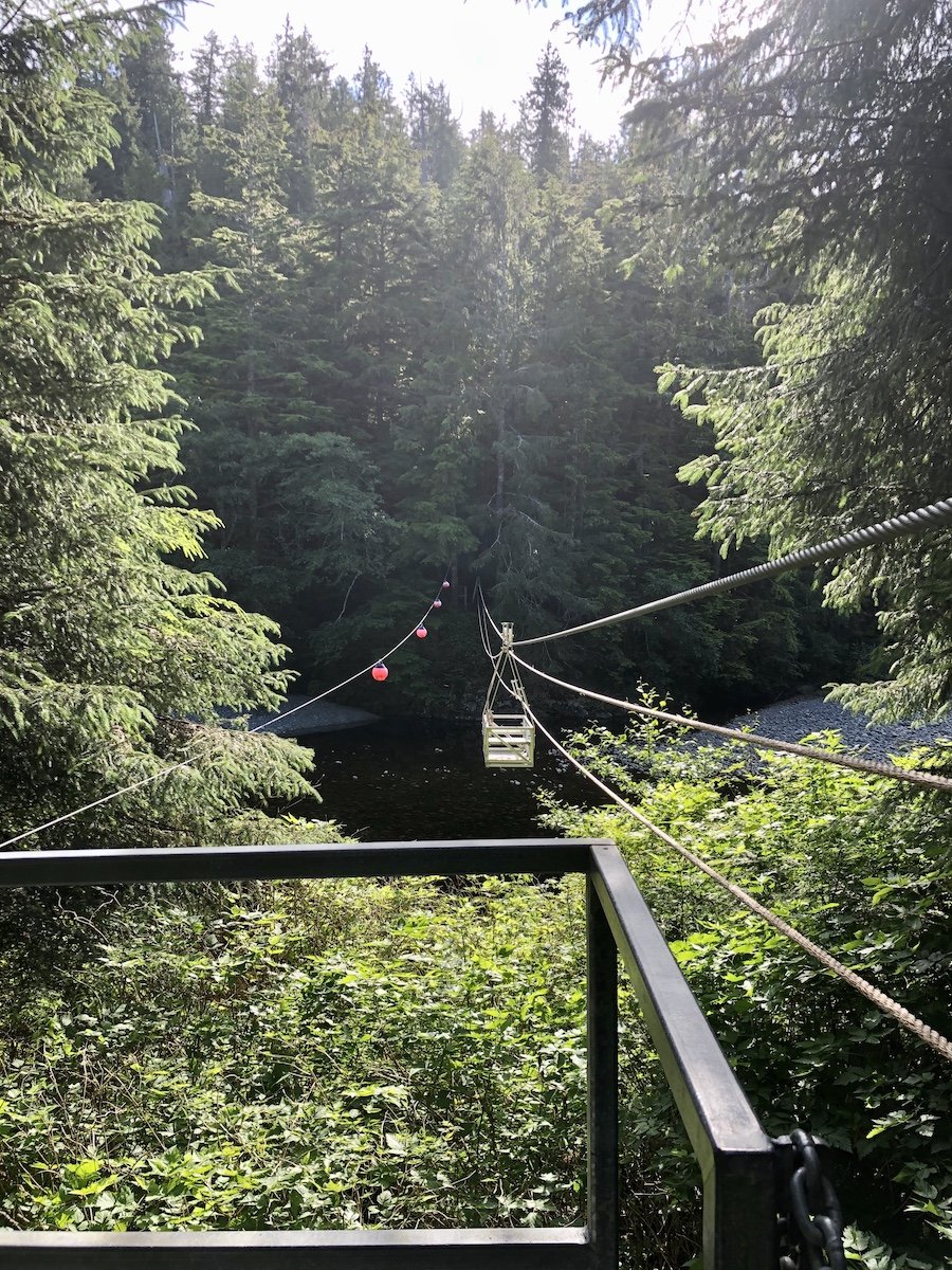
I came to another cable car, which I didn't expect, having thought there was only one on this particular trail. Cable cars are fun, so I hopped onto it eagerly and scooted across, appreciating the view from high above the river. Soon after, I arrived at the Nahwitti River Campsite. The tent pads were in the forest, but one was close enough to the beach access that you could see the ocean from it. And the beach itself was stunning. I welcomed the opportunity to hike on the beach, the tide still being low enough for me to hike the rest of the way to the Skinner Creek campsite on the coast. I had to scale down a sketchy, steep cliff using the provided ropes to get the to the coastal trail, after a short section of forest trail, but the coast was so beautiful that it was worth it.
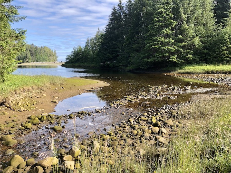
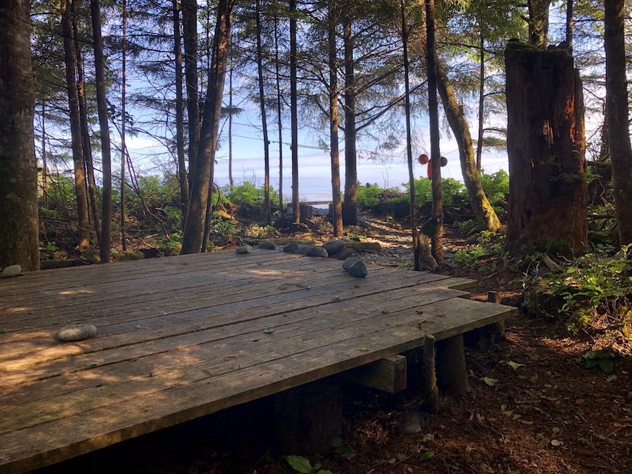
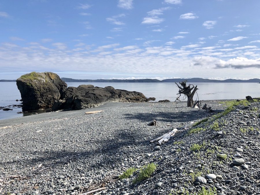
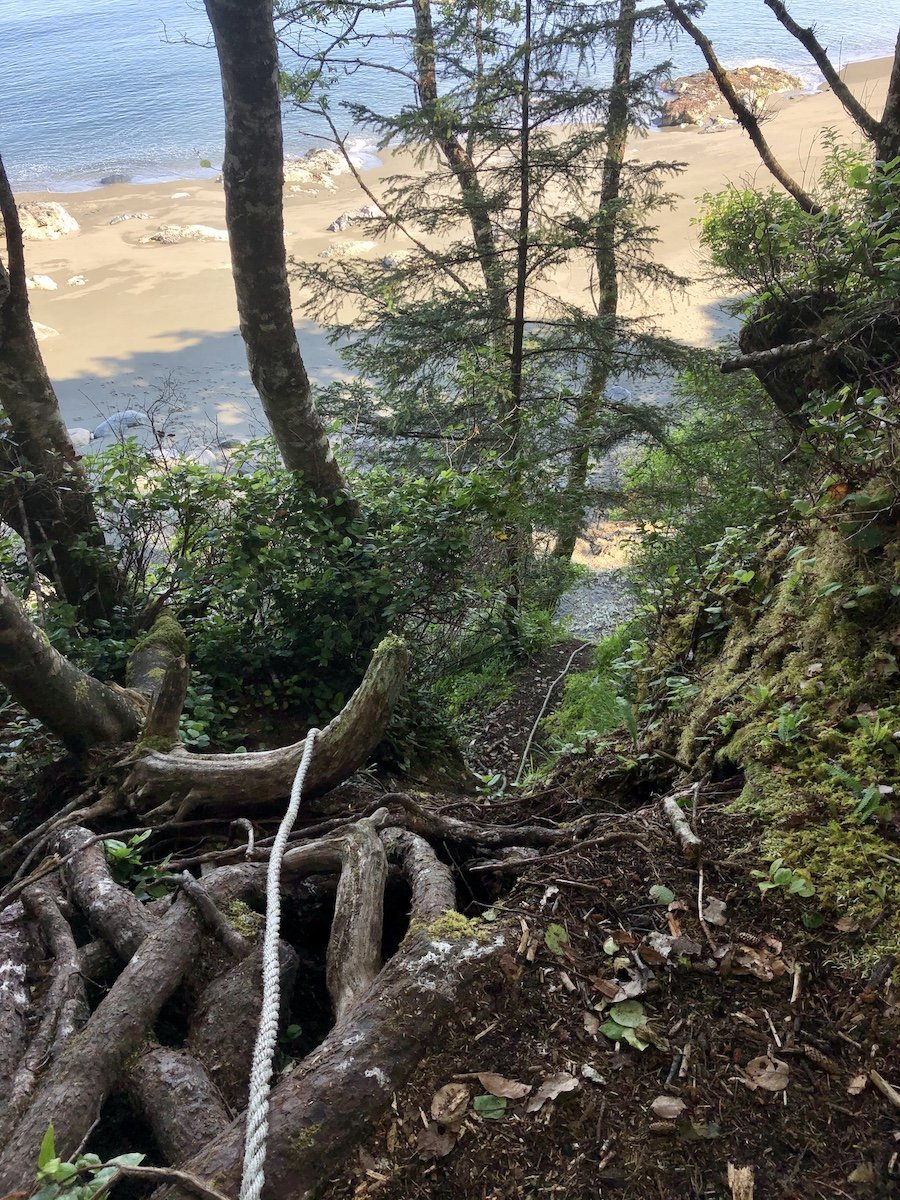
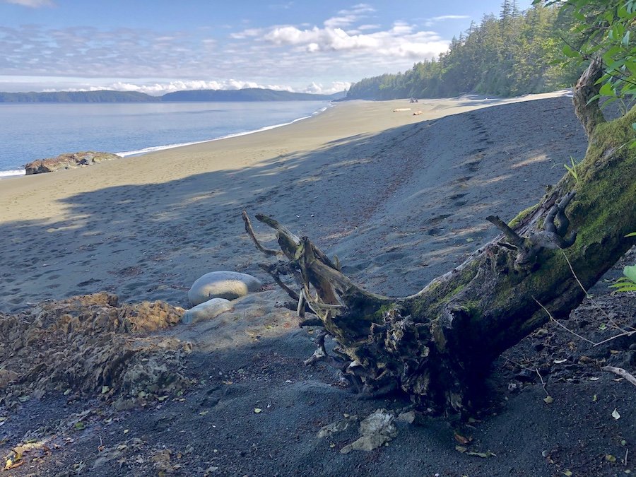
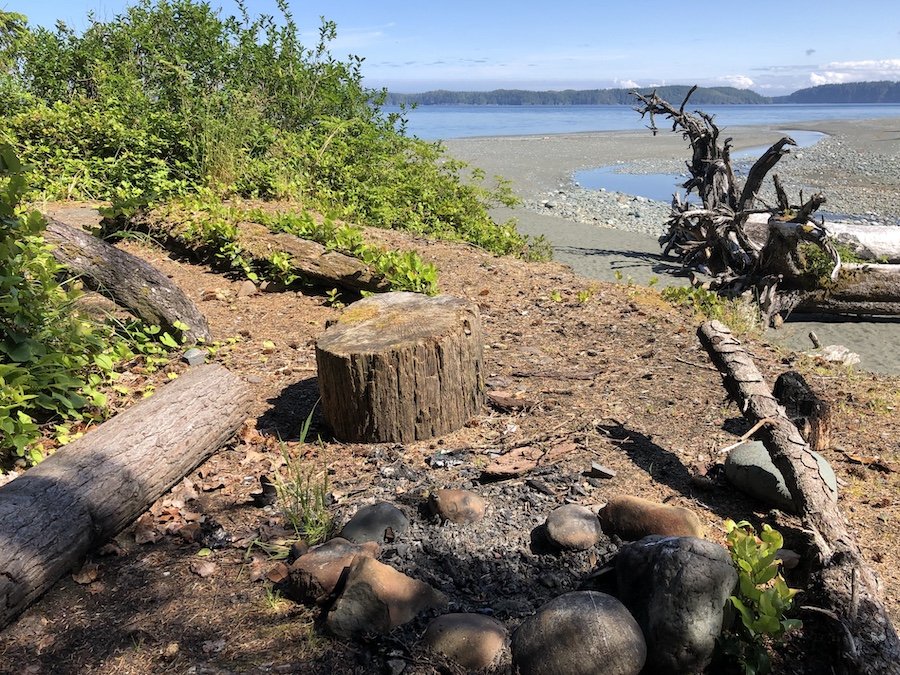
The Skinner Creek campsite would be a welcome respite for hikers travelling from Shushartie Bay westward, being the first opportunity to enjoy the coastal view and camp from the start of the hike. For me, it was my last, sad goodbye to beautiful coastal hiking with the knowledge that the final and worst part of the trail was ahead of me. Little did I know just how much this last section would challenge me.
There Will Be Mud: From Skinner Creek to Shushartie Bay
After I said goodbye to the last coastal section of the trail, I turned toward the forest. I saw the path leading uphill to some stairs, and headed on up. As I walked, something seemed off. It felt like I was going the wrong way, though sometimes that happens on a trail before it winds back in the right direction. I consulted my map. Shit. I realized that I had gotten on the forest trail leading back toward Nahtawitti, the alternate route to be used during high tide. I climbed back down the long staircase and took a closer look around me.
I saw buoys on the other side of the creek, but had originally thought they were water source markers. I tried to follow them. The trail was far from obvious due to all the massive tree trunks in the way, but I noticed that there were a few notches cut into the logs here and there. Not clearly marked, but they had seen use. I followed them along until I got to a path that was hidden from view from the other side of the creek. It would have been easier to cross the creek further back away from the ocean, but the buoys lead you around the other way. Regardless, I managed to figure it out and made my way into the forest.
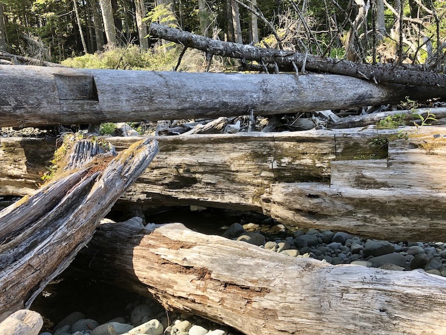
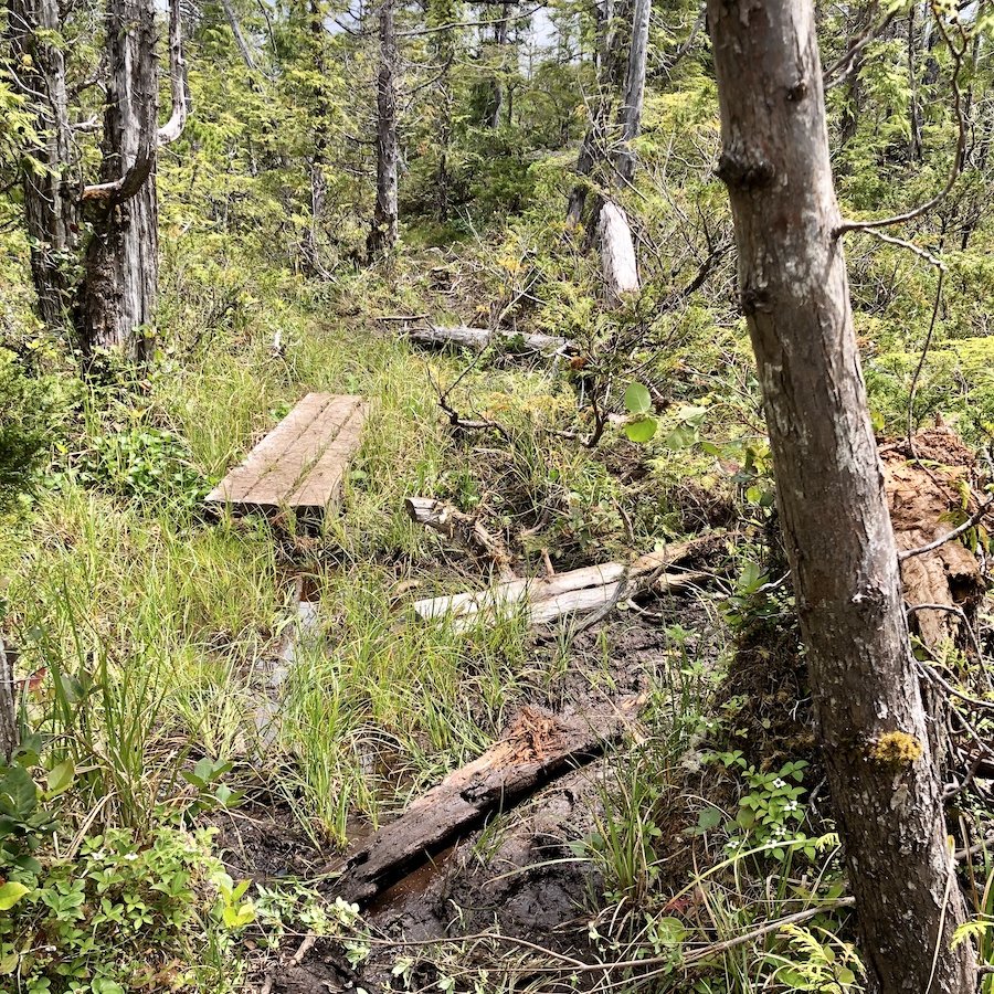
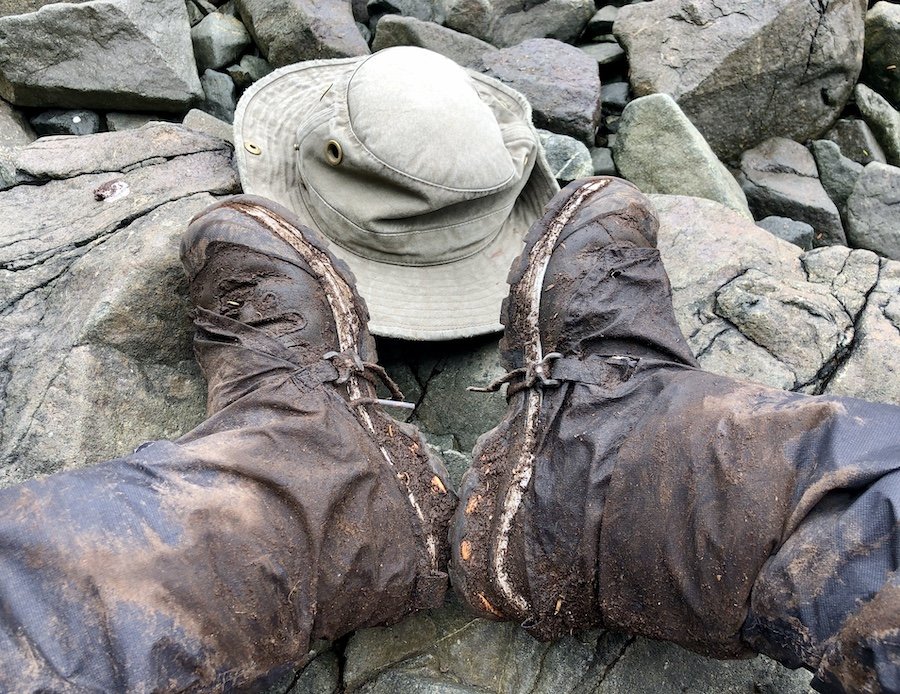
It wasn't long before I got to the bog lands, around 8km worth of boggy terrain, occasionally broken up with a board walk or a patch of somewhat drier forest trail, which brought short-lived relief. I walked on and on. At first I did my best to try and avoid stepping in any water at all, but picking my way like this made the travel so much slower. Eventually, I decided to do my best to use stepping stones or logs if practical, but to not be too concerned if I stepped in water as long as it doesn't sink me in deeper than my boot line. Being at the end of my trip, it wasn't too big an issue if my Goretex boots soaked through. Goretex would never get dry under those weather conditions, being known for really long drying times once soaked through. I would be getting off the trail and into dry shoes the next day, so I could handle one night of damp boots. Even with the increase in pace, it was still a slog. It wasn't as closed in and overgrown as the section between Nissen Bight and Laura Creek, for which I was thankful, but it was nearly twice as long. I felt like Frodo journeying through Mordor with the mud being the weight of the ring he was destined to carry. But you know what they say, if you're going through hell, just keep going. And that's why I don't have many photos of this section, not that there was much to see. The following are the only two I took.
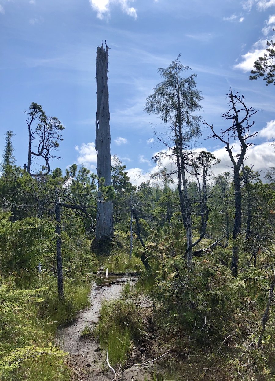
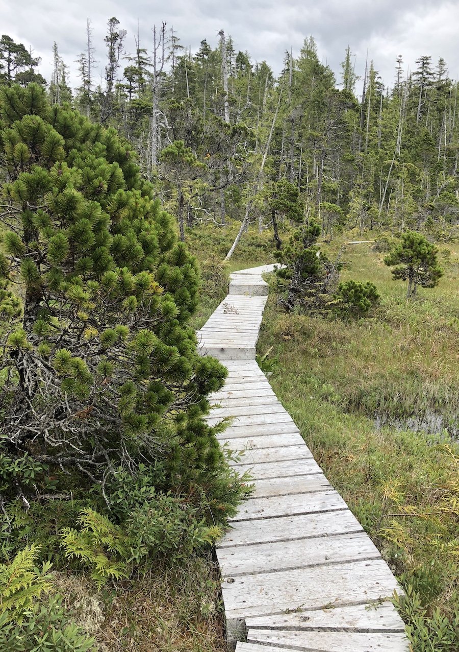
Eventually, I started encountering hikers who had been dropped off earlier that day at Shushartie Bay. They were quite the lot, tired, muddy, some injured, and nearly all disheartened, even more so when I told them how much longer they had to go, which was the first question each and every one of them asked on seeing me. I, of course, asked the same question back. That being said, whatever time they gave me, I would cut that by 25% knowing that I move more quickly with my pack weight being a fraction of what they were all carrying. Even with that, it was far from encouraging. I soon realized that while the trail was listed as 8km, it didn't take into account all the creative re-routing you had to take to go through/around muddy sections. The travel in that section ends up being closer to 10km in reality.
After walking for what seemed like forever, with many false hopes of it being nearly done brought about by terrain changes, I finally reached the Shushartie Bay campsite on the side of a hill heading down toward the coast where the end of the trail was. It was 3:00pm. My boots were completely mudded up, and I was out of water, but I was done. I took a quick scan around for the water source that had been marked on all the North Coast Trail maps posted on the signs at all of the campsites. There was none to be found. I couldn't find any markers indicating where it was either. I climbed down the rope to descend a rock face to bring me to the end of the trail. Still no sign of a water source. I double checked the map, and yes, it indicated that the site had one. I wasted at least 45 minutes walking around, climbing up and down the rock face and walking up and down the coast looking. Eventually, I decided I needed to stop looking. The effort of looking was dehydrating me further. I knew that a human can survive 3-4 days without water and I had drunk plenty earlier, but I didn't want to create a worse deficit if I was going to have to go without. I sat down on the bench at the end of the trail and ate all the food I had left that didn't require hydration. Not finding water also meant that I wouldn't get to eat my homemade backpacking meal of dehydrated butter chicken with cauliflower rice, one of my favourites, which I had saved to celebrate the end of my hike.
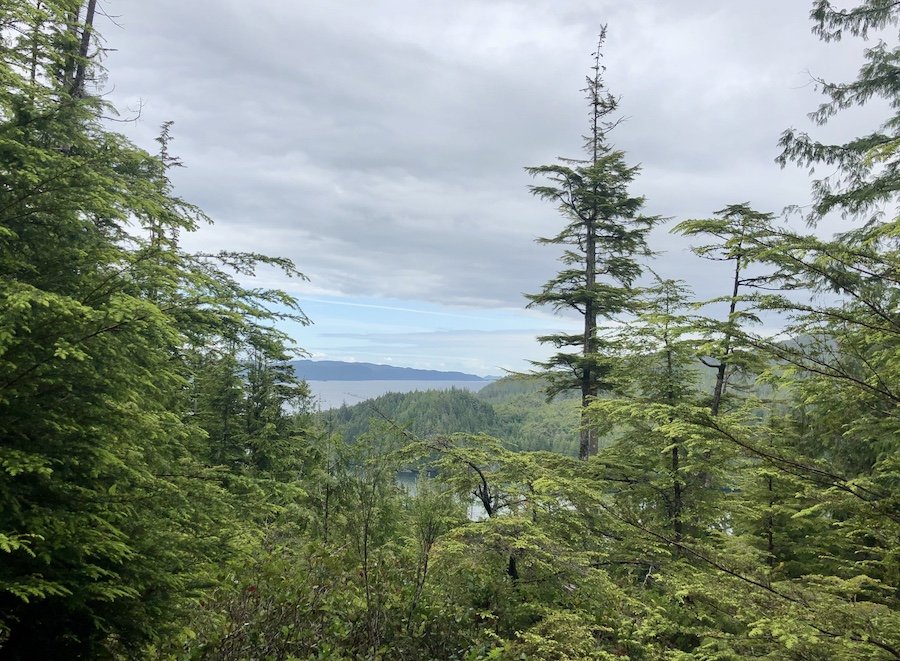
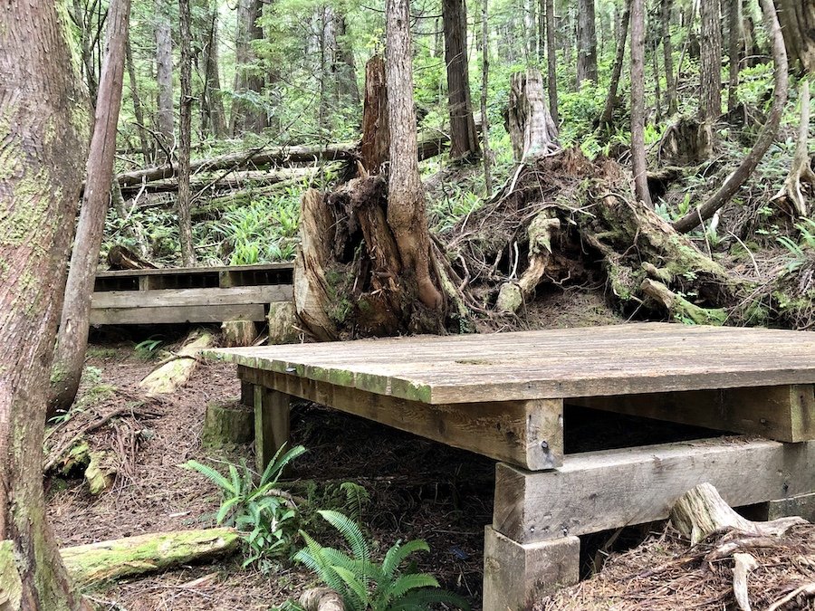
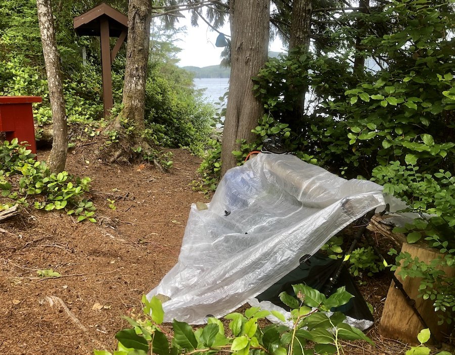
As I ate, I quickly realized the mosquitos were really active. With my face being the only thing exposed, I started getting bites all around my cheeks and forehead. After I finished eating, I went to put on my mosquito head net that I had been using to dry out my socks and underwear after my last camp. Shit. It had gotten torn up by a branch at some point. Double shit. I lost a pair of expensive underwear. The only option I had was to keep moving, so I decided to work on setting up my shelter. I decided to set it up next to the water, using the bench to tie off my tarp. It was a pretty lazy set-up for sure, but I just didn't want to climb that rope back up to the tent pads yet again, and felt comforted to be in sight of the ocean. Because my ultralight shelter system was only a bivy equipped with a bug net and a tarp for protection against rain and wind, I couldn't just hang out inside my shelter like many people do in tents in such conditions.
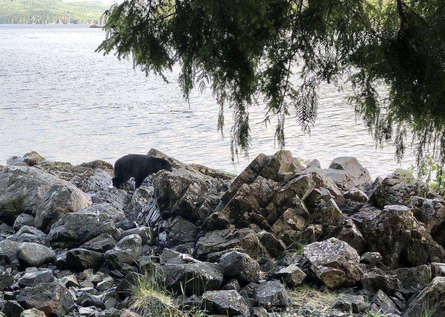
Since it was only 6pm by that point, I though maybe I could sit closer to the water and meditate and at least enjoy the view. I had once read that buddhist monks could meditate for hours and the bugs would just leave them alone while they did so. It was worth a shot. Apparently, I am not enlightened enough to make this happen. Being in slightly more open space next to the water, there weren't quite as many mosquitoes, but they still got a bite in here and there. And just when I felt like I was at my wits end, I saw a black shape approaching from up the coast. It was a huge black bear. It stopped and looked straight at me while I stared back at it. I knew better than to run or freak out. I calmly stood up and started talking to it like it was just some guy walking by. As I did so, it started walking once again, continuing along the coast, crossing less than 50 feet in front of me. Since I was staying put anyway, I pulled out my phone and captured a little video footage (included in my trip video that will be in my next blog post). Don't ask me to explain the accent I used to talk to the bear. I guess on some level I think bears are from the deep south? Shrug.
At 7pm, I decided I had had enough swatting of mosquitos. I decided to just lay down in my coffin-sized sleeping quarters to get relief from the bugs, and just listen to the audiobook I had on my phone, Thruhiking Will Break Your Heart, by Carrot Quinn, the story of her hike of the Pacific Crest Trail. Eventually, the day's trials caught up with me and I fell into a deep sleep.
End of the Journey
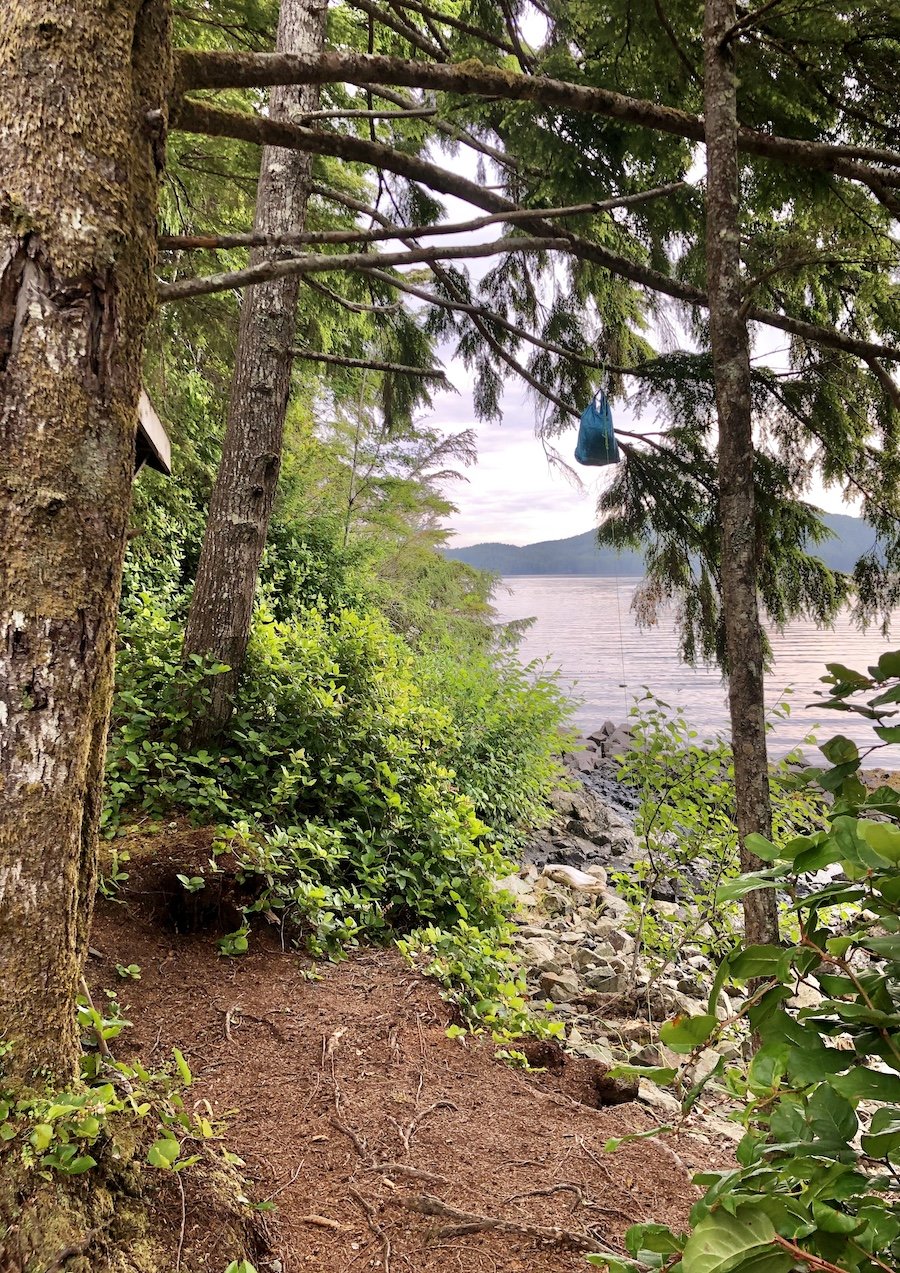
I woke up at 5am and sighed. The water taxi wasn't scheduled to pick me up for another 3 hours. I stayed in my bivy as long as I could, not wanting to face the bugs, but needing to pee. Eventually, the urge to go forced me up. The sun was beautifully glinting off the water as it rose into the sky. I looked up at my hanging bear bag, which had been left undisturbed. Bears are pretty crafty about getting bear bags if they're motivated, but I had hung mine well, and mine was lined with an odour-proof bag to keep animals from smelling its contents, deterring their interest. Even with that, there was barely any food left in it anyway and I doubted it was enough to sway them from more obvious food sources the ocean had left behind. I also knew there was nothing left in it but a dehydrated meal and some protein powder, so even if the food was lost, it was no big deal.
I packed up all my gear and sat out on a rock by the water watching for the taxi at 7:45am. I waited. I checked my phone. 8am... 8:15am. Still no sign of it. I started to worry. I was all alone, out of cell reception, with no way back to civilization. I decided to use my Garmin InReach Mini to reach out to my husband to get him to contact the water taxi. I was glad I did, for my own peace of mind. It turned out that the boat had had a mechanical problem that delayed their departure by an hour.
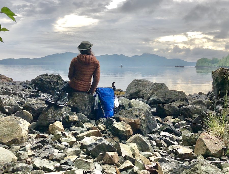
When the water taxi arrived, it had a boat-load of fresh-faced hikers, looking forward to their upcoming adventures. They looked at me with excitement asking, "How was it? Was it awesome???" I felt so bad for them, knowing that they were starting on the shit end of the trail and that they had a hard slog ahead of them before they got to see anything worth seeing for all the mud they had to force themselves through. I kept it brief, but made sure they got the warning they needed: "Once you get to the coastal areas, it is beautiful, but for now... put on your gaiters." They looked at me with a little surprise at the urgency of my tone. "Seriously. You want to put them on immediately, before you start hiking. Trust me. You'll thank me for it later."
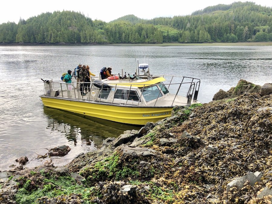
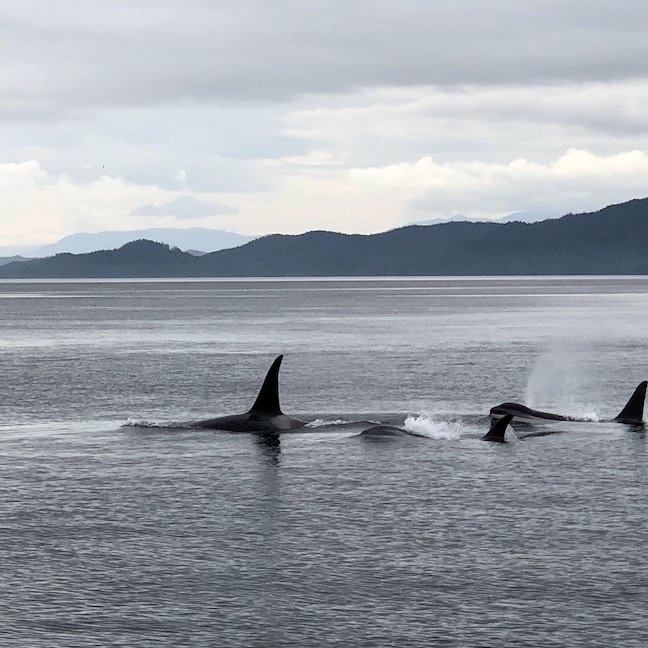
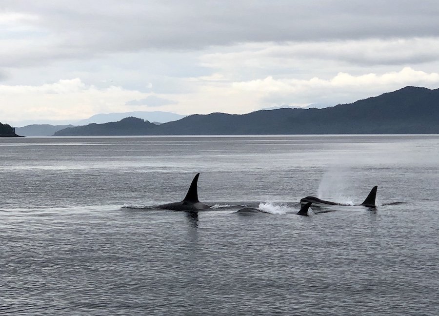
George, the water taxi driver, felt bad having left me waiting for an hour all alone, so when he spotted several groups of orcas a little off our route, he took me out of the way to get close so I could check them out. I hadn't seen any whales while I hiked along the North Coast Trail, though they are said to be fairly common, so I appreciated getting to see some orcas from the water taxi. I had never been so close to orcas before! It was a real treat, along with the other sea mammal sightings we had, dolphins, a sea otter, and a sea lion. It made up for having to wait longer to be picked up, and to finally get fill up my water bottles. George pointed out the hose at the dock right after we arrived. After stocking up, I boarded my shuttle back to the Cape Scott Provincial Park parking lot.
And so ended my time hiking the Cape Scott and North Coast Trails. In my next blog post, I'll unpack the entire experience, discussing the highlights, the challenges, tips for the trail, and the lessons I learned, both inner and outer. I'll also put in my the video I put together of my journey.
Have you ever hiked the North Coast Trail? What were your experiences like? Please feel free to share in the comments so everyone can benefit from your thoughts. :)
